DAY 7 BABBACOMBE TO HOLCOMBE
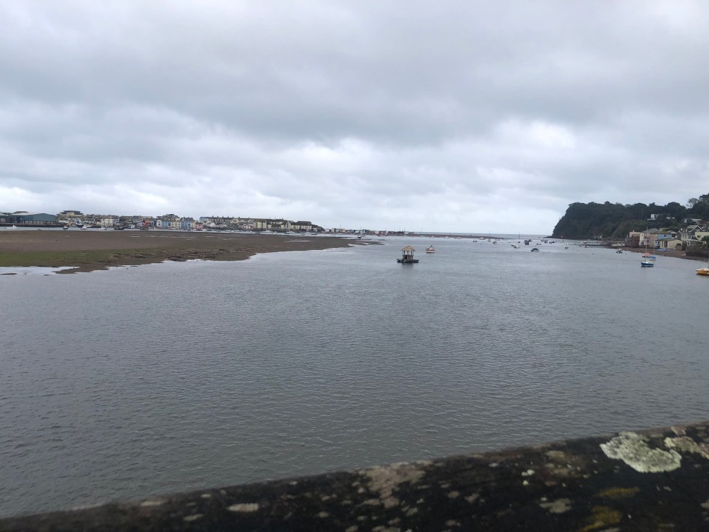
What do you do when there’s a river to cross and no sign of the ferry? Go to the pub, of course! Following our two easier days, conditions had toughened up, and our legs were beginning to feel the effects, so we had a well deserved alcohol boost and rest at the Shaldon hostelry [aptly named The Ferry Boat Inn] while we mulled over plan B.
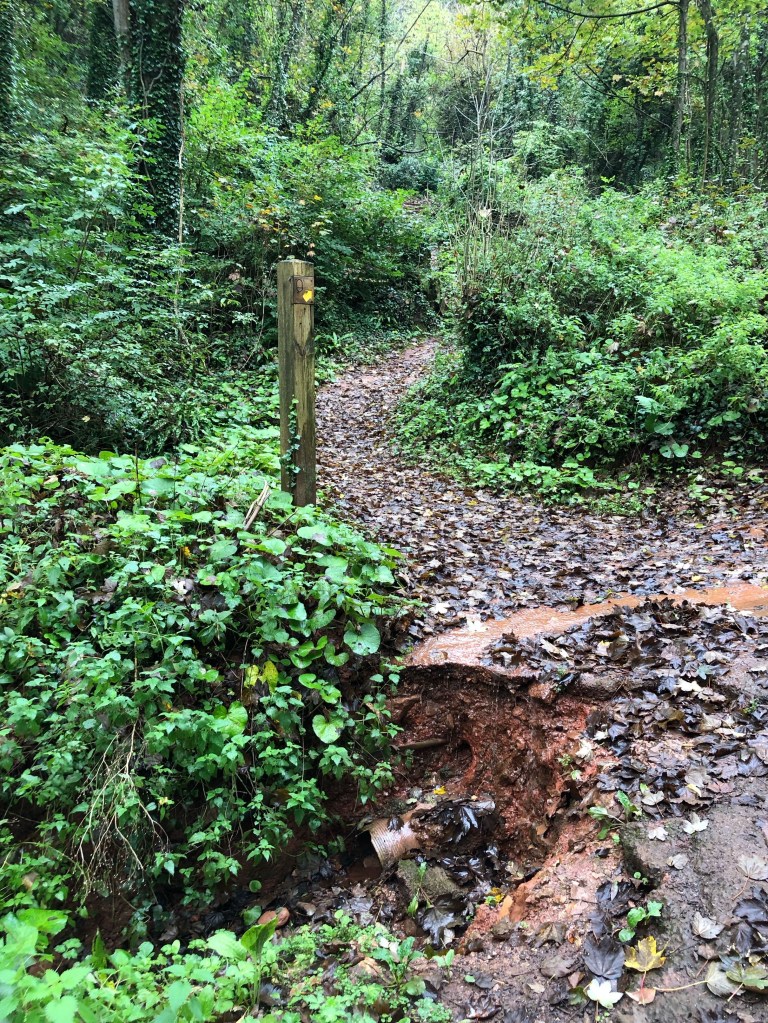
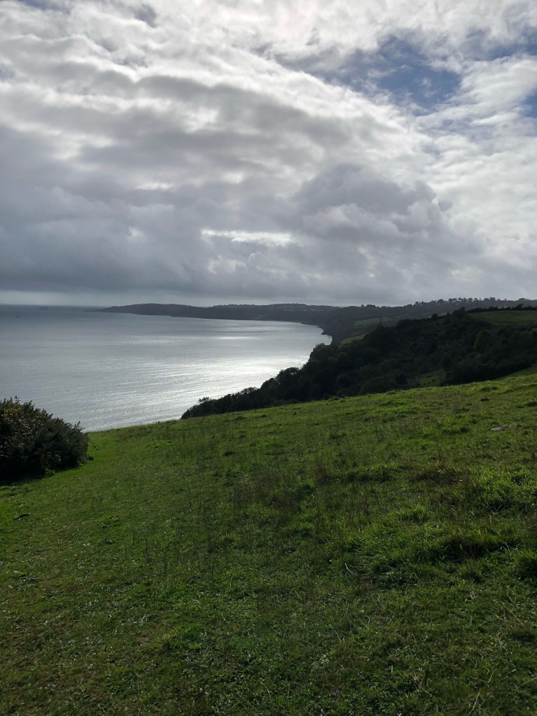
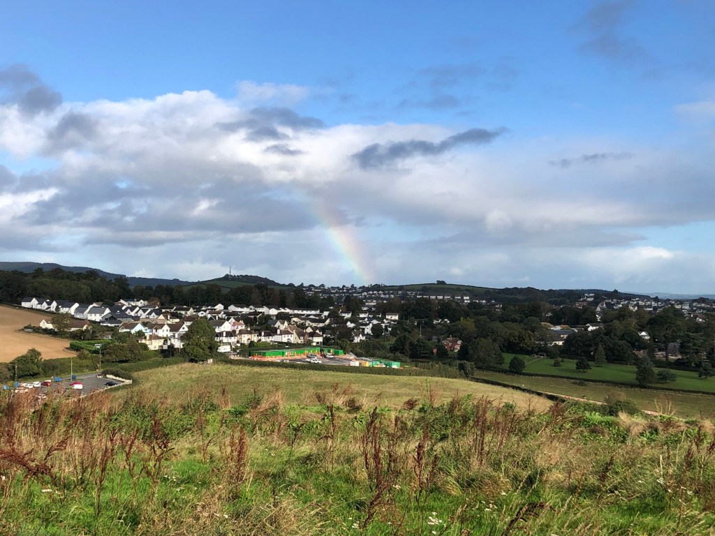
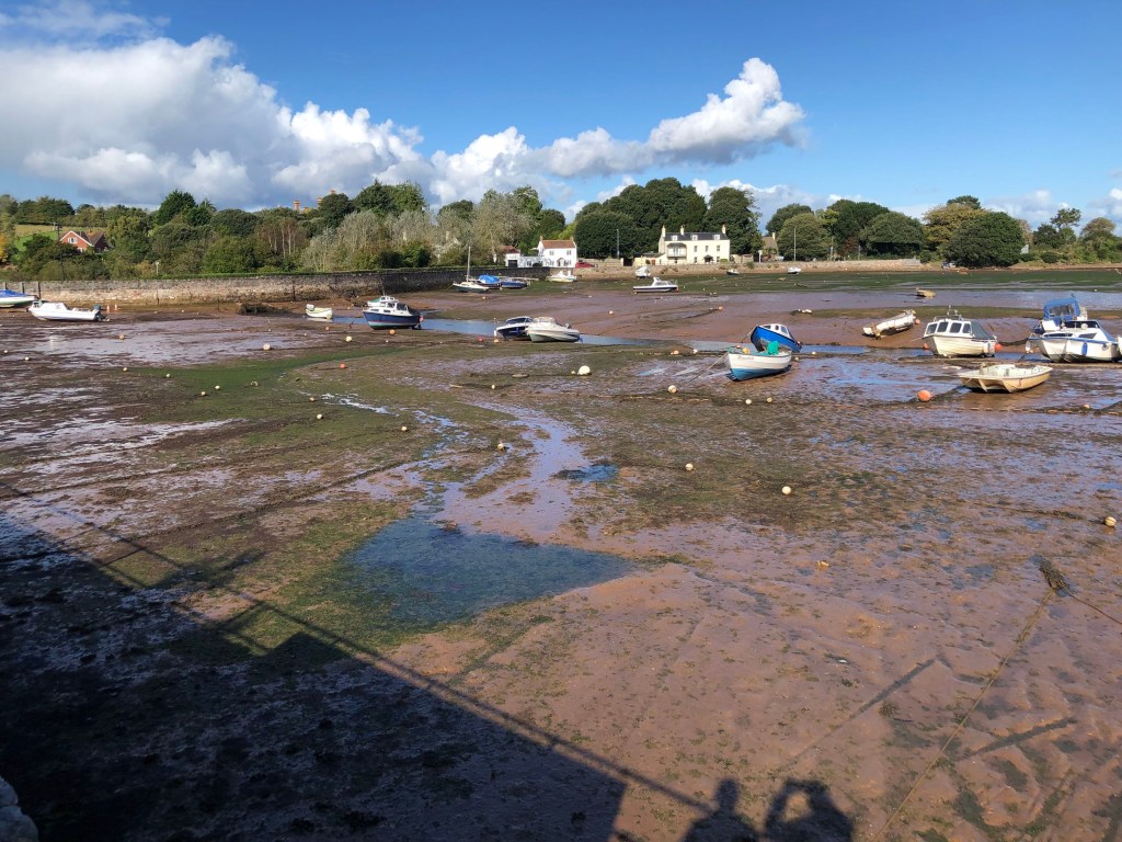
The morning had begun soggily after a night of rain. The temperature was still warm, but sunshine had given way to grey clouds, and the promise of further rain, so waterproofs were on standby. We had to walk through Babbacombe to pick up the Coast Path before heading into woodland-lots of ups and downs via steps and wet leaves underfoot, so progress was sedate as neither of us wanted to slip up! At Maidencombe beach we had a break, and the lure of coffee and cake as well as getting my passport stamped, was sufficient to warrant negotiating a steep set of steps [what goes down must ascend afterwards]. I haven’t mentioned the passport much this leg, mainly because I have had success at every waypoint!
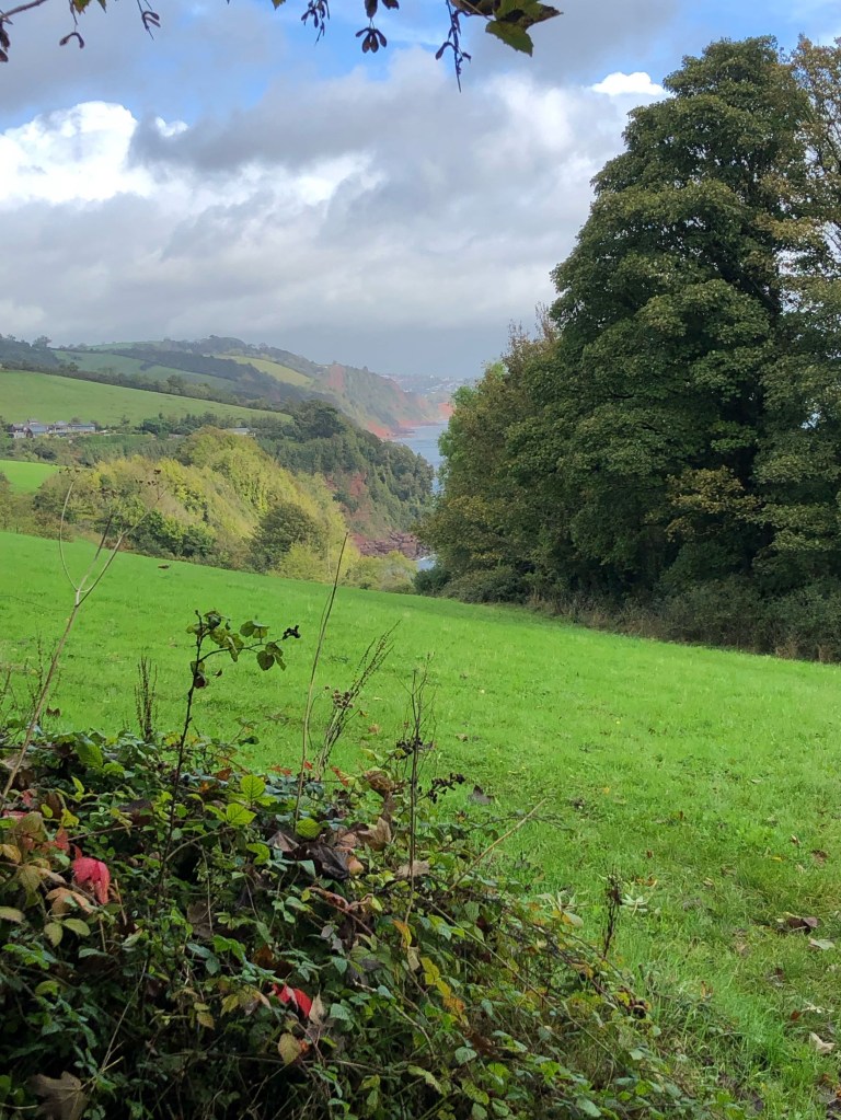
My next voice memo was set against the howling of wind-I sound pretty fed up and describe the going as either up or down, and having to give my rucksack to Paul to carry again on an especially steep section. There was a particular field where we never seemed to reach the top, and the misery was compounded by having to stop to put on our waterproofs. Although the rain was light, I’ve been dummied by it before; if you don’t get covered up, you quickly get wet through, even in a shower! Fortunately, the rain didn’t last long, by one o’clock the sky was blue with puffy white clouds, and we had another one and a half miles to get to Shaldon.
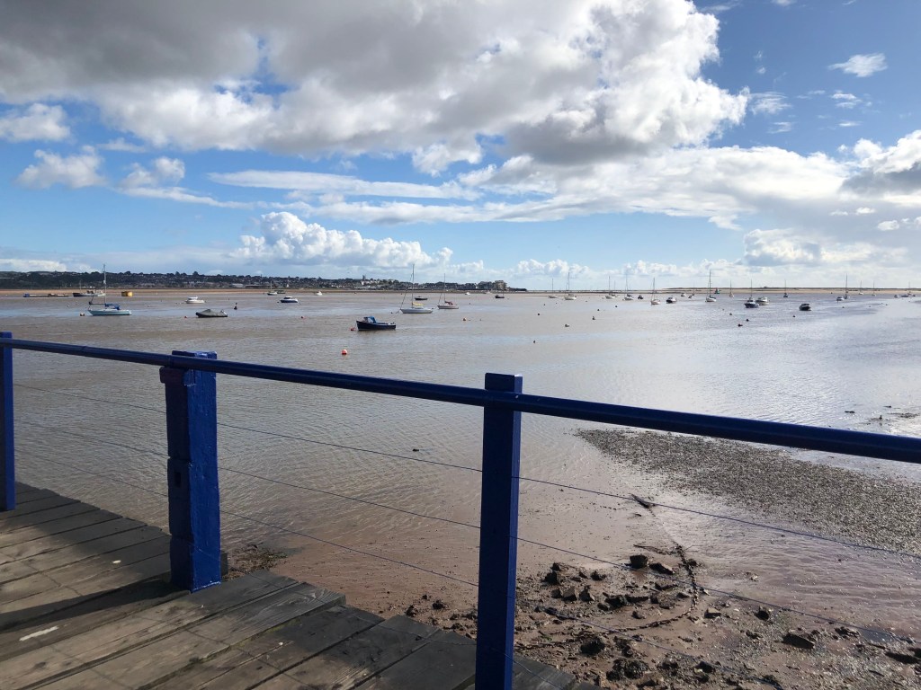
We had discovered that ferries come in a variety of sizes; today’s was a one man and small boat gig, but the shack was empty, with no trace of either human or vessel. After repairing to the pub, as we were the only customers, the barman went out to find the ferryman for us. He came back concluding that the wind was too high for it to be operating. Fortunately, there was a bridge [so we weren’t going to have to bed down in the pub!] but it did mean adding extra distance into our already leaden legs. Consequently, we decided to skip the section of Path that would have taken us around Teignmouth on the opposite side of the estuary, and catch a bus to Holcombe. It was still a good half mile from getting off the bus to our accommodation, so we hadn’t cut the overall mileage, just walking inland from the official Path! In our defence, look at the hefty ascent and descent stats below.
Stats
Distance 7.59 miles
Time 2hrs 49mins
Pace 2.7mph
Ascent 950ft
Descent 1200ft
DAY 8 HOLCOMBE TO EXMOUTH
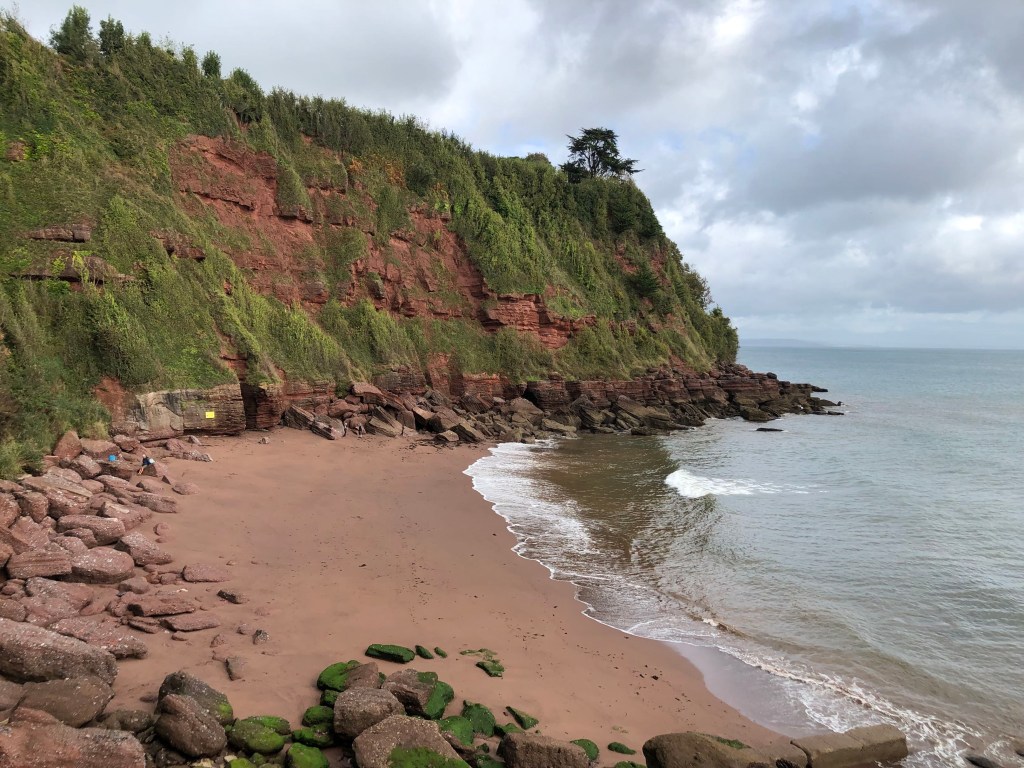
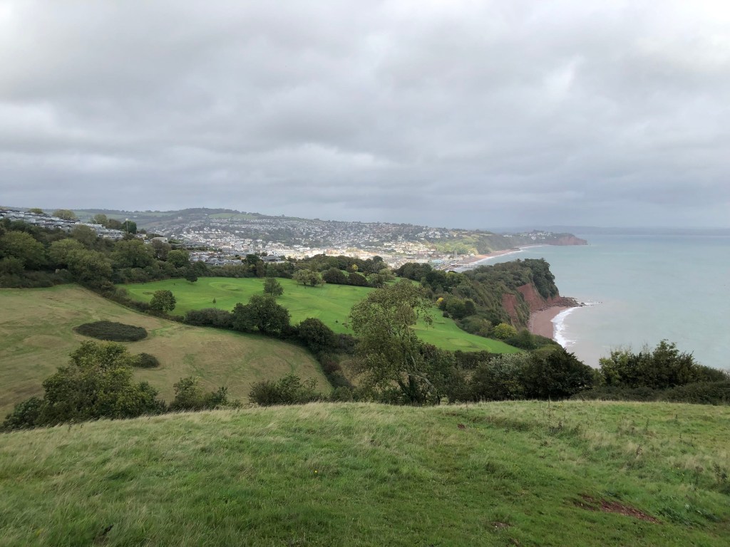
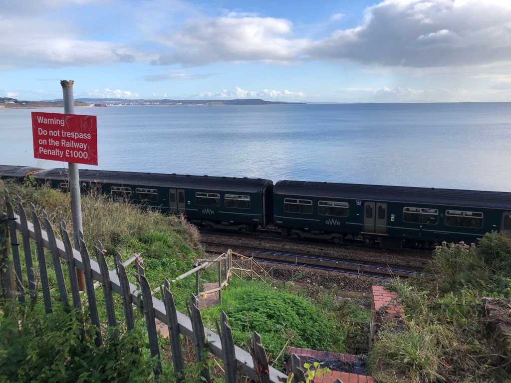
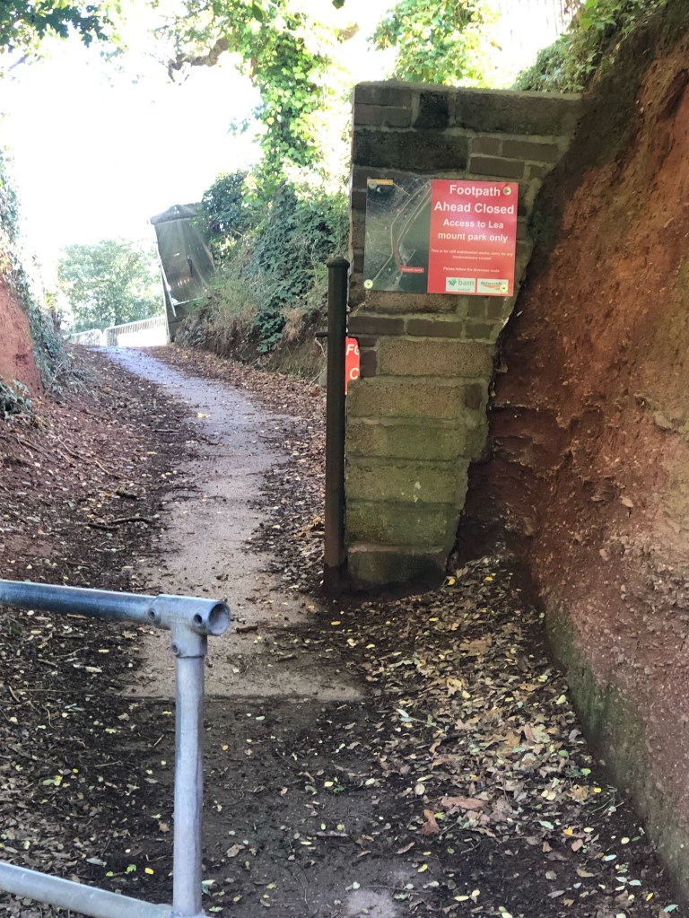
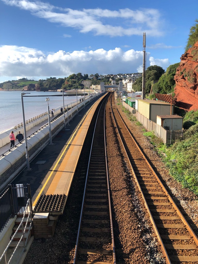
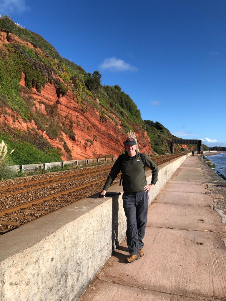
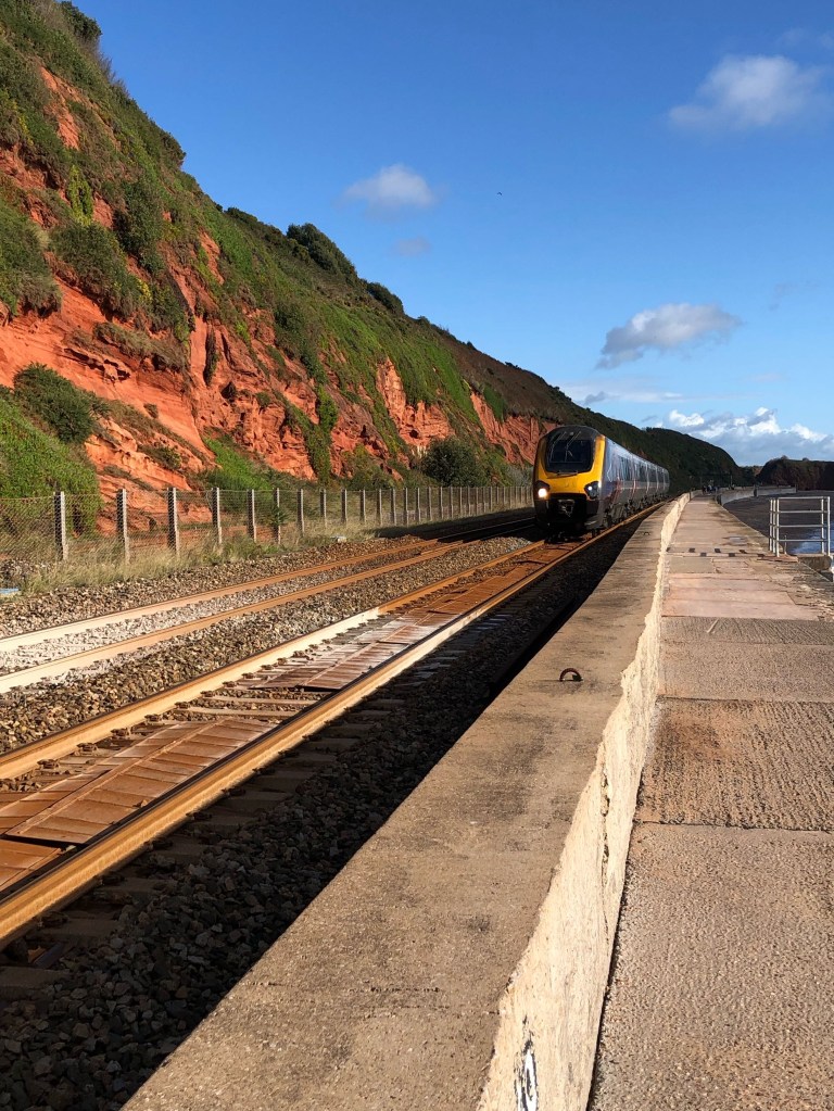
Feeling slightly guilty about missing out the Teignmouth beach section of the Path, we did turn back a little way to pick up the route just east of the town. It was one of those coat on, coat off mornings, as the showers came and went, before finally brightening up. We had been walking alongside a road as we approached Dawlish, but just as we were expecting to get back to the coast, we found the Path was closed for stabilisation work. We thought we’d be able to rejoin it fairly soon, but we discovered the railway was passing between our position on the road and the Coast Path [you could say we were on the wrong side of the tracks!] So we had to follow the main road all the way into the centre of Dawlish [nice block of public loos there] before picking up the official route again, though this did take us through the town and a park. To the east of the train station, we crossed a bridge over the tracks, which took us to an extraordinary section of the Path-a sea wall about eight feet wide, with the railway line inland, and a vertical drop to the sea or beach on the coastal side, no barriers on either side! This stretch lasted for about two miles, so we were able to keep up a good pace here. On the outskirts of Dawlish Warren, we recrossed the tracks via another bridge and made our way into town, which seemed to consist almost entirely of holiday parks. We stopped at a cafe for a Cornish pasty, and promptly got rained on!
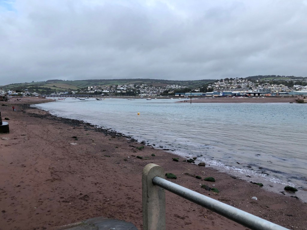
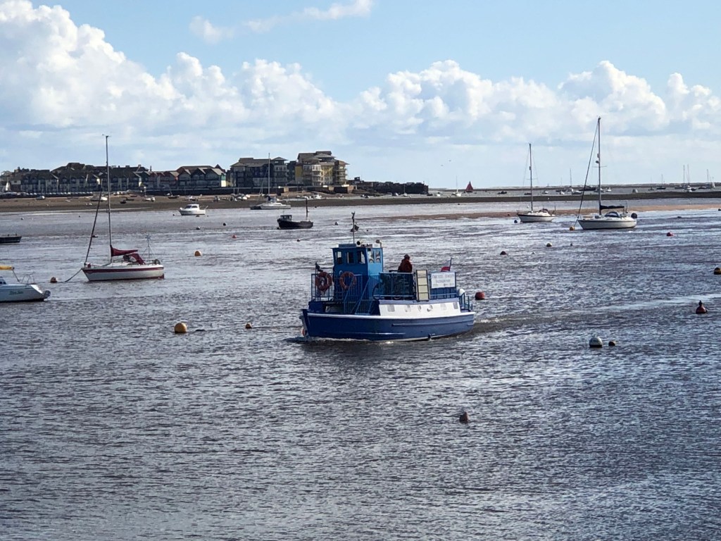
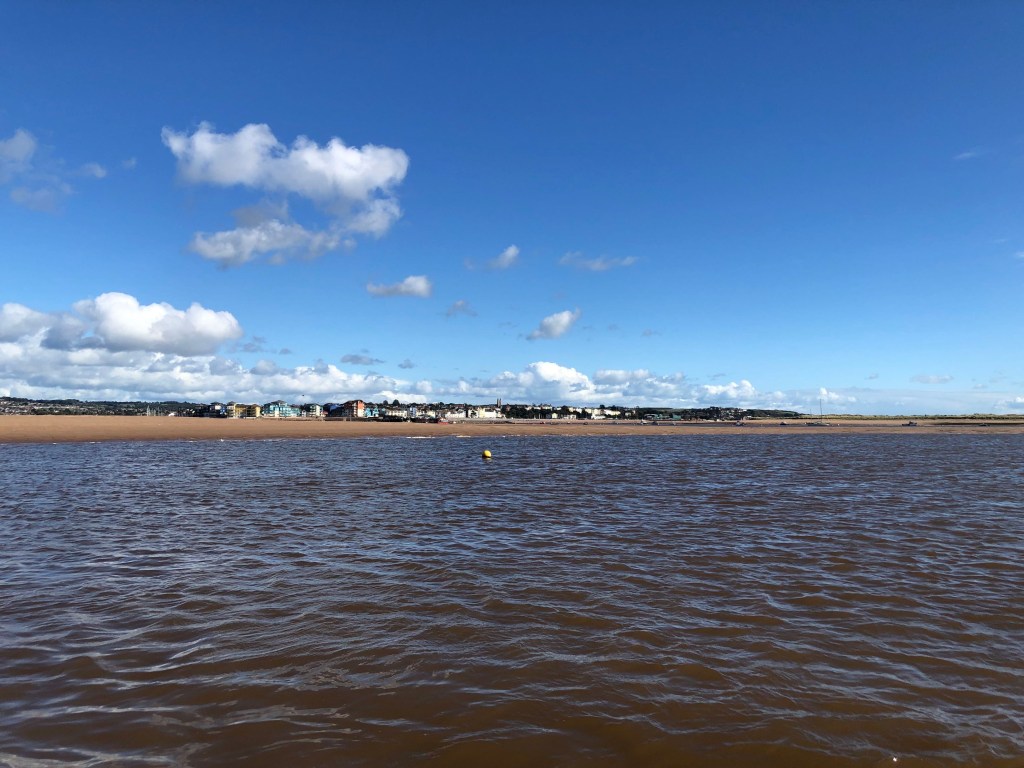
Our next target was Starcross, the jump off point for our final ferry crossing of the week. The route there was good going but a bit boring-it was along the Exe Estuary trail, a tarmacked path, but we had barely a glimpse of the sea as the railway embankment blocked the view. At Starcross station we crossed the train tracks for the final time, and headed for the pier to await the ferry. It would have been a long detour via public transport if the boat hadn’t been running, but we were relieved to see it chug into view after a short wait. This one was a moderate size with inside and outside space for passengers. If you look at the stats below, I suspect our super fast pace of 3.5 miles per hour was given a boost by the ferry transit! About twenty minutes later we were back in Exmouth, the starting point for our March excursion, in time for an early meet up to collect our luggage at 1.45pm in the car park.
Despite the odd shower, we had been blessed with fabulous weather for October, which meant it was easy to rest up on the really tough sections [and we really needed to rest!], but this was balanced by plenty of walking amongst built up areas at sea level. As usual, our toes had taken a battering, but that’s an occupational hazard. We returned home feeling pleased about how we coped with this section’s challenges, and our map shows we’ve completed about a quarter of the Path now.
Stats
Distance 8.79 miles
Time 2hrs 30mins
Pace 3.5mph
Ascent 375ft
Descent 600ft
Next week, we resume our Walk, this will be our first foray into Cornwall, covering the well known villages of Port Isaac, Rock, Padstow and Mawgan Porth [hangout of Hollywood A listers apparently]. We’re then off on a proper holiday, so the blog will resume in late May…


Leave a comment