DAY 2 ZENNOR TO PENDEEN
Now, before I dive into this tale of misery, I think it’s worthwhile to assert that we have a really enjoyable time most days. Of course, it’s not a stroll in the park, it wouldn’t be a challenge if it were! But being outside, appreciating the stunning scenery whilst getting a good walk under our belts, is why we keep coming back. With Leg 12 now completed and Leg 13 around the corner, we have not given up-plenty more walking and blogging ahead!
The other thing I must do next is apologise for the lack of photos to sufficiently illustrate what I’m describing, for which there are two reasons. Firstly, I have focused on capturing views of the coastline, in an attempt to share the beautiful vistas we have been experiencing. Secondly, I am not prepared to risk life and limb for a selfie or image of danger or difficulty; when I’m struggling to climb over some boulders, or walking next to a steep drop, getting out the phone isn’t uppermost in my mind! However, on our last leg, I made a conscious effort to depict more of the actual Path, so I hope the images will complement the blog better in the future.
‘Enough preamble’, I hear you cry, ‘where’s the suffering?’ Well, it started moderately…
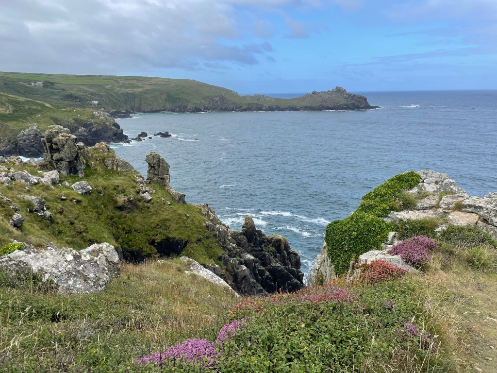
You may recall that, despite being August, the previous day had been wet, windy and a little wild. Today was properly summery-warm, sunny and a gentle sea lapping the shore below. We’d had a good rest overnight, so we were feeling pretty good as we set off at 9.45 am. We were immediately faced with a steep downhill section, followed by scrambling uphill. I mention scrambling quite a lot in my voice memos-the weather may have improved, but the terrain was still predominantly large stones set in the ground at various angles, so your foot was constantly twisting and looking down was essential. As well as my usual right toe blistering, the pad of my foot was stinging, I suspect from walking on the uneven stones. We had a [sort of] respite when the path was clearer underfoot, except now we were fighting our way through brambles and bracken. By 10.20 am we had covered a mile [very modest progress] and weren’t likely to get any faster ahead. It took just over an hour to cover two miles, but I was optimistic as we headed into woodland for a welcome bit of shade-I described the day as muggy and I was sweating quite freely.
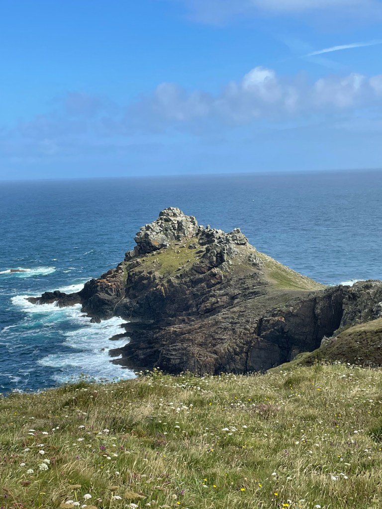
At noon, we stopped for a water and banana break after a section I called ‘brutal’ and ‘punishing’! This is the part where I took no photos, but I recall it was like mountain climbing! Clambering and scrambling constantly, including in places where we were very close to the edge of the cliff. Here, the poles were a hindrance as much as a help; they were useful to take the strain as we ascended, but when you needed to climb over a boulder, they just got in the way. We were expending considerable effort, and in the heat, we drank much more water than usual-I’m ashamed to say we ran out. What a rookie error. On a normal day, a bottle each would be sufficient, but today wasn’t normal! [We always carry two bottles each now.] The sun was relentless, we had a long way to go still, no water and nowhere to replenish. What we needed now was Plan B.
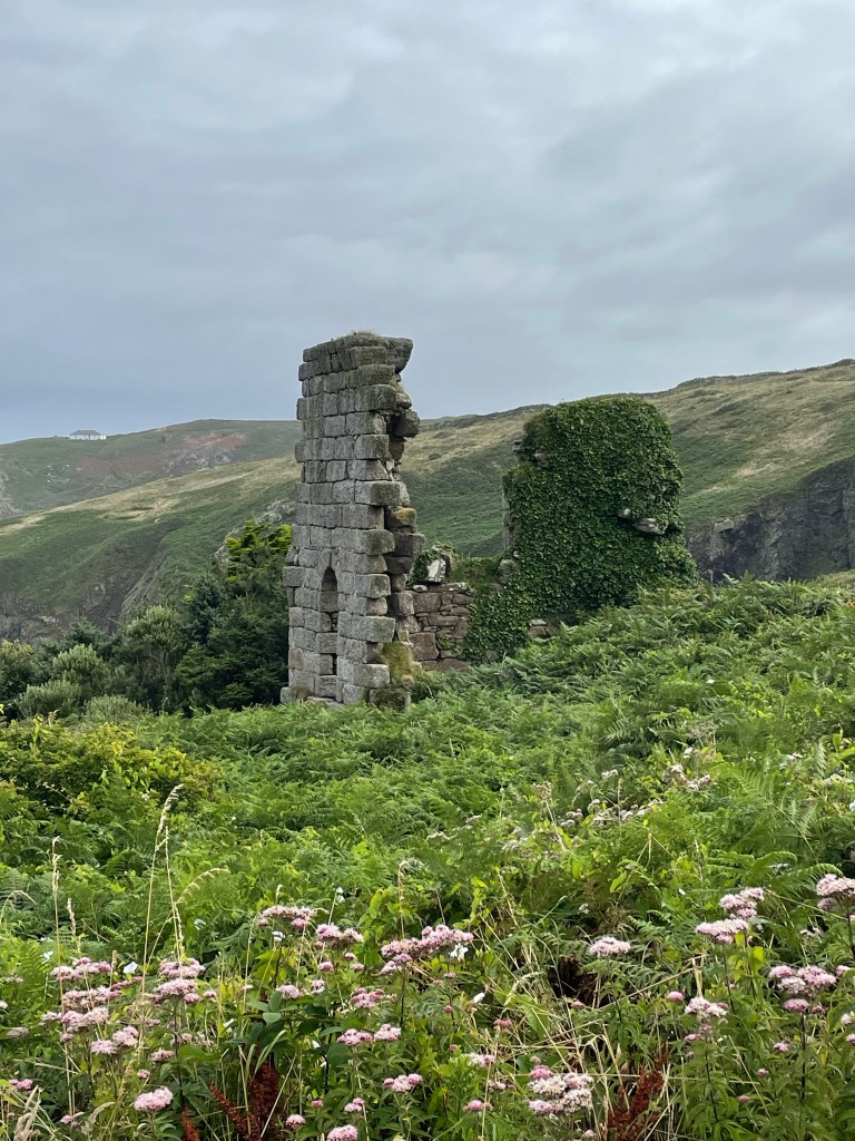
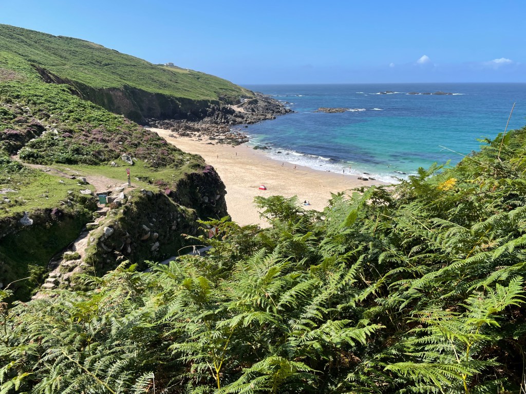
Our original route was to take us along the Path beyond Pendeen Lighthouse, then turn inland towards the village past the Geevor Tin Mine Museum. However, this was a long way to go without any water, and I was already getting very tired. Paul looked at Komoot, and spotted a path heading inland from Portheras Cove that would take us to a few buildings and the start of a road into Pendeen. We decided to take that route, but first we had to find it! We were faced with a hill covered in foliage, and missed the turn off. Luckily, Paul was following our progress on Komoot, so we immediately turned round and found the hidden path. It was steep, narrow, the sun was burning down, and we hadn’t gone far before I was desperately gasping for breath. I would stop to recover [not easy on a slope, with nowhere to sit, and my feet struggling for purchase] but no sooner did we recommence, then I was gasping again. I was taking only a handful of steps before having to stop once more. I was hoping that every corner would be the last, that I would see the top, but instead, it just revealed more of the same. My throat was so dry, but there was no relief for my thirst, my legs, or for my poor heart, pounding away, trying to keep me going. Readers, I confess, I began to cry, I just wanted it all to stop. Paul told me later he was really worried about me, he was already carrying my backpack, but there was no way he could carry me! He had started worrying about what he could do if I collapsed. Oh, what little faith he had! No sooner had I started weeping, then I was giving myself an internal pep talk; crying wasn’t going to help, the only person who could was myself, I just needed to push on to the top and I could have a proper rest, just take one footstep at a time. Eventually, we got there, and I flopped onto a lush grassy flat area, and after ten minutes, I felt normal again. Yes, my legs were tired, but more importantly, I was capable of walking properly and confident I could make it to the village.
At the pub in Pendeen, I ordered a sparkling water and gin and tonic and downed both in pretty short order! Paul was a bit slower and left some of his pint as we dashed across the road to catch the bus to St Just, where our hotel was located. Fifteen minutes later, when neither of two possible buses had turned up, Paul asked in the shop, where we learned the bus drivers were on strike that day! We called a local taxi, but they do school runs, so were told he could come for us at 5 pm. At least we could hang out in the pub and get some more liquid inside us in the meantime. Hovering anxiously outside at 5.15 pm, no taxi in sight, Paul phoned him to discover he had broken down! However, he had sent his stand in driver, but we had to wait that bit longer. After this litany of woe, never had we been so relieved to reach our accommodation. It had been the toughest day so far-but we survived it! Below, I’ve included a screenshot of the profile from Komoot-look at the last V shape. It may have broken me, but I repaired myself sufficiently to walk on!
Stats of the day:-
Time 3hrs. Distance 7.68 miles. Pace 2.6mph. Ascent 1,125ft. Descent 1,000ft.


Leave a comment