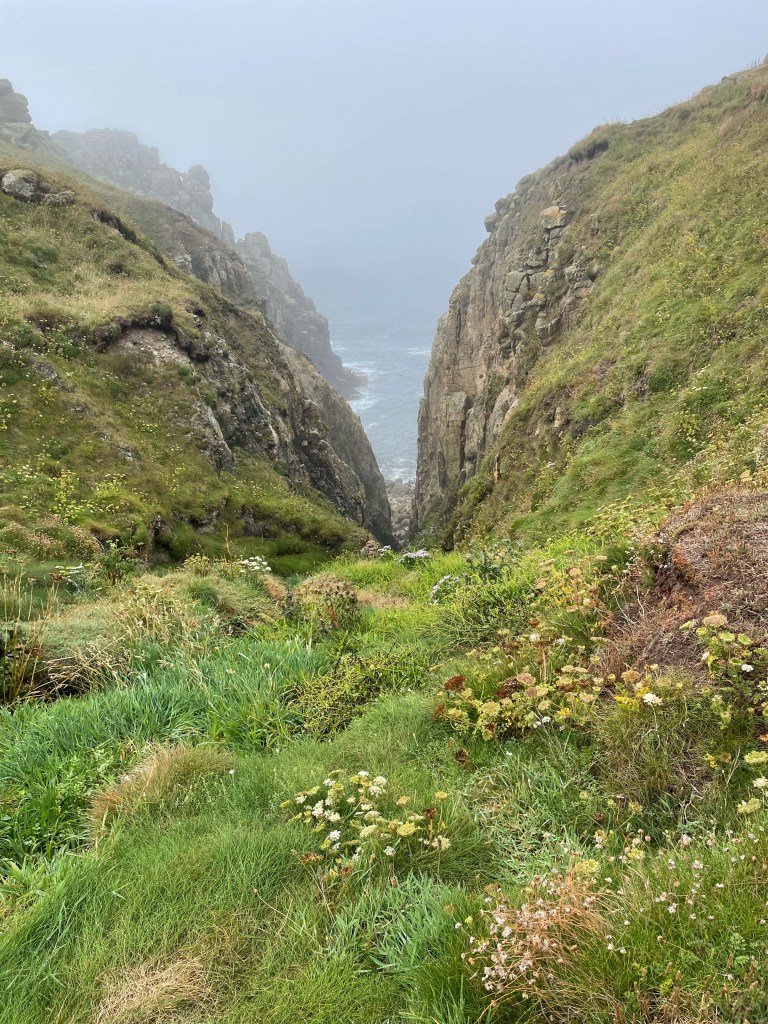
DAY 3 ST JUST TO SENNEN
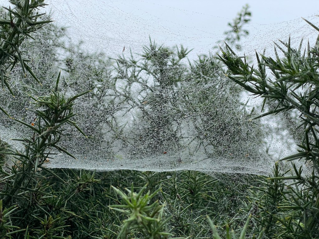
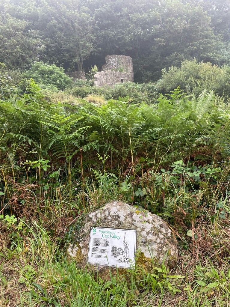
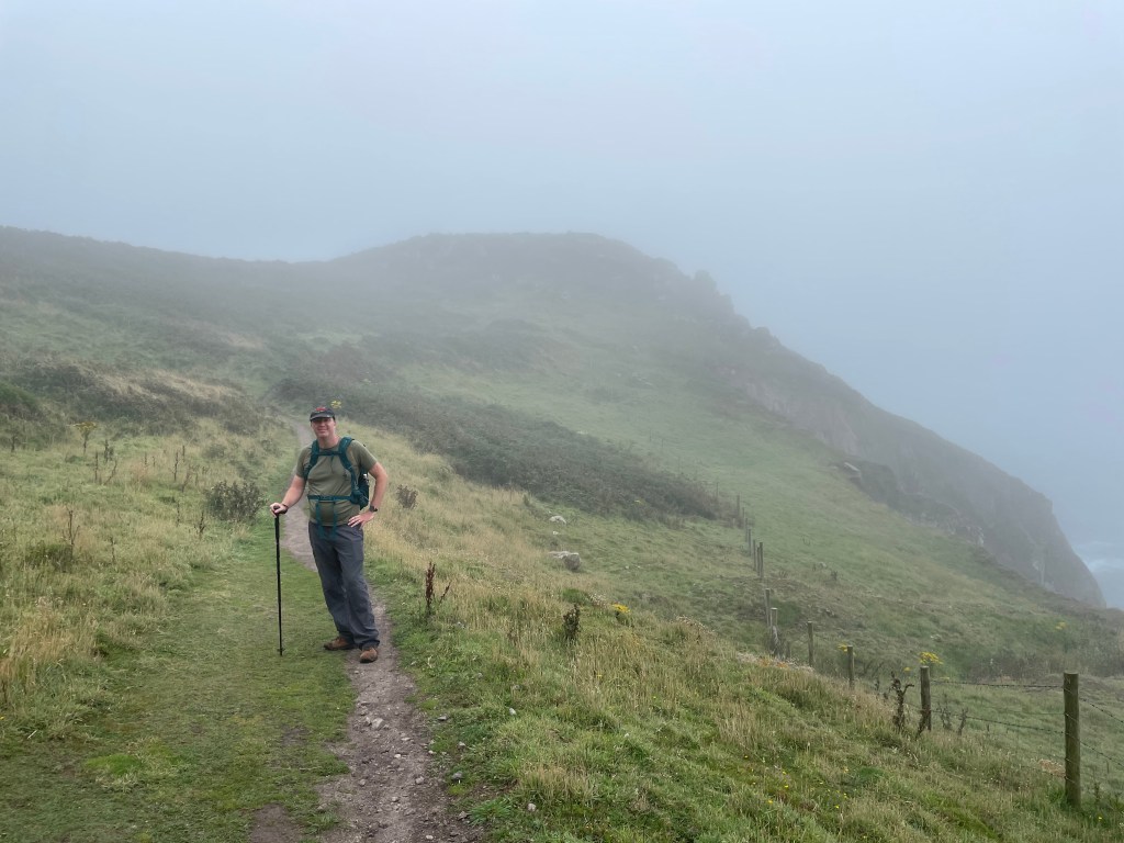
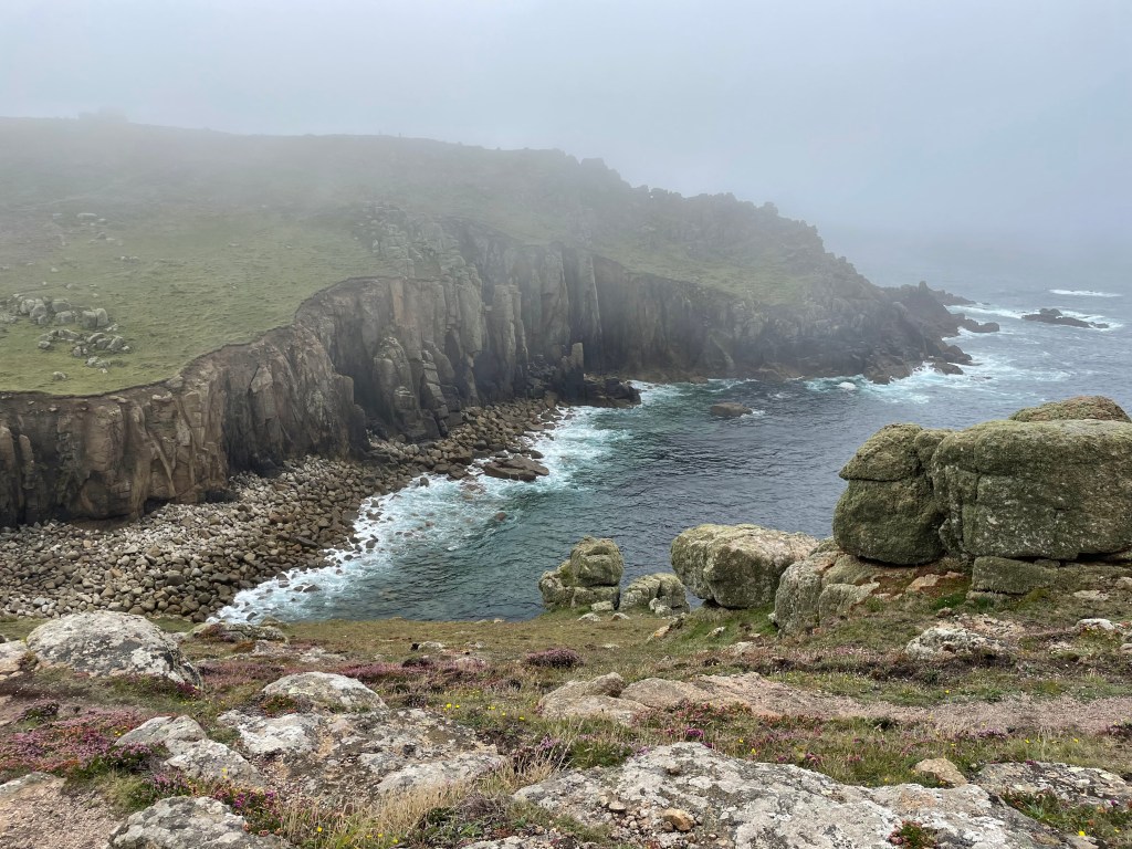
The vagaries of the British weather threw us another curveball today, dawning misty, moist and muggy. As we made our way back to the Path, we passed a hedgerow covered in cobwebs, glistening with dew, and the ruins of mine works had an eerie quality as they emerged from the grey mist. It took us 35 minutes to reach the coast, where the sea merged with the sky in a murky fog. No far reaching views today. We set off, hoping for an easier day than we’d experienced the day previously.
The evening of day 2 had been spent poring over the map and our planned Komoot route. Due to the short cut we had taken, a chunk of the Path had been missed out. We quickly dismissed the idea of returning to the point we had left the Path and carrying on, as we already had another full day ahead. We decided to head directly out of St Just to the Path and continue from there. Recently, when Paul plotted our progress, marked in red, on Google maps, there was a glaring white breach between Pendeen and St Just! Now, we aren’t purists, we’ve missed the odd headland here and there, but this amounts to a full day’s walk, so, I make this promise here and now that we will return to fill in the gap.
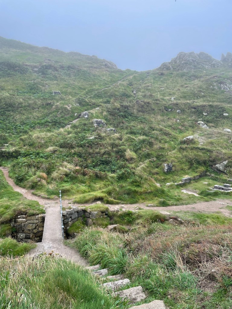
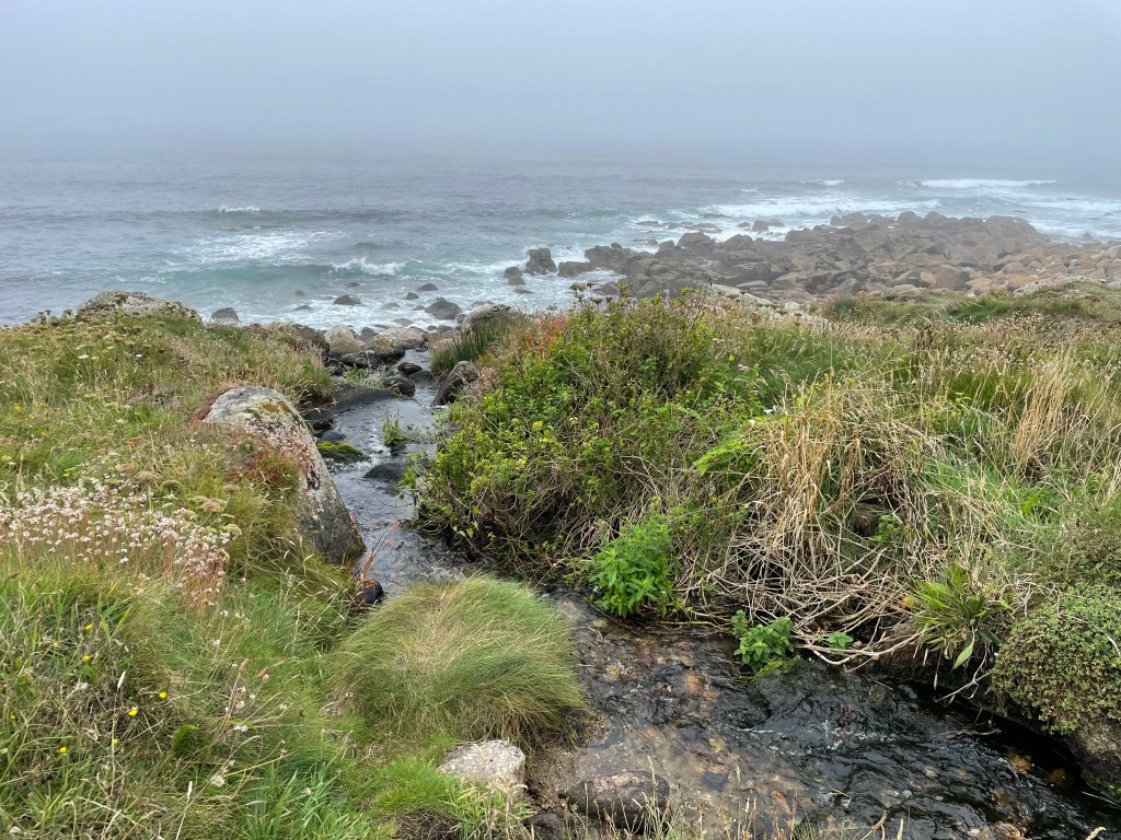
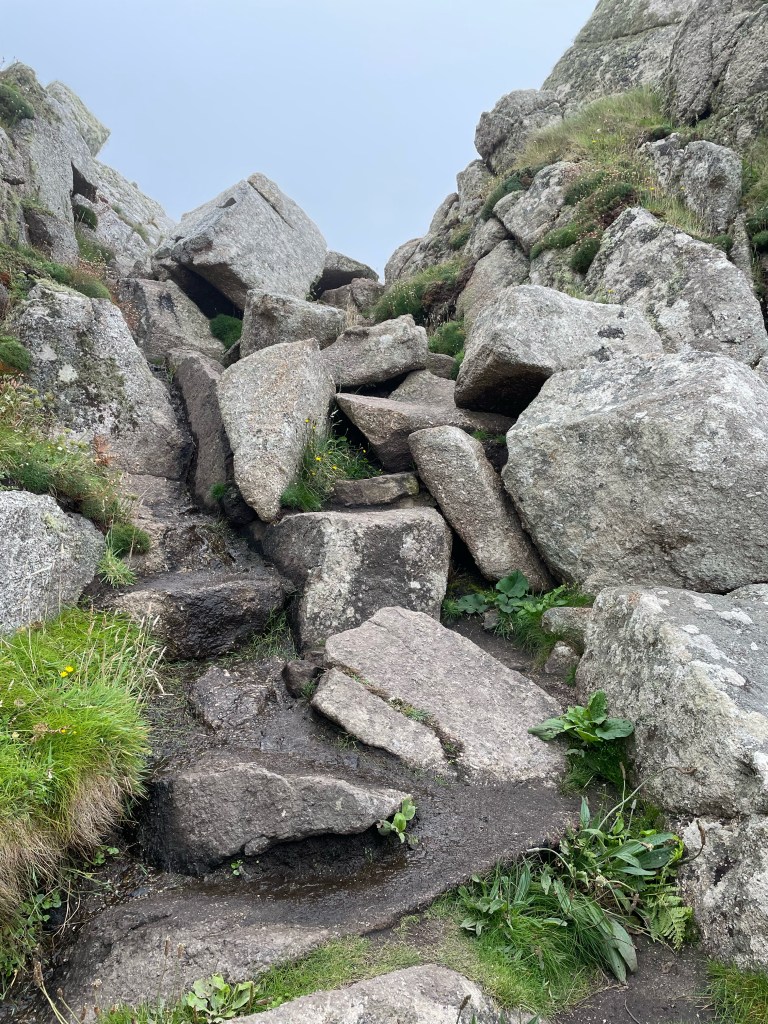
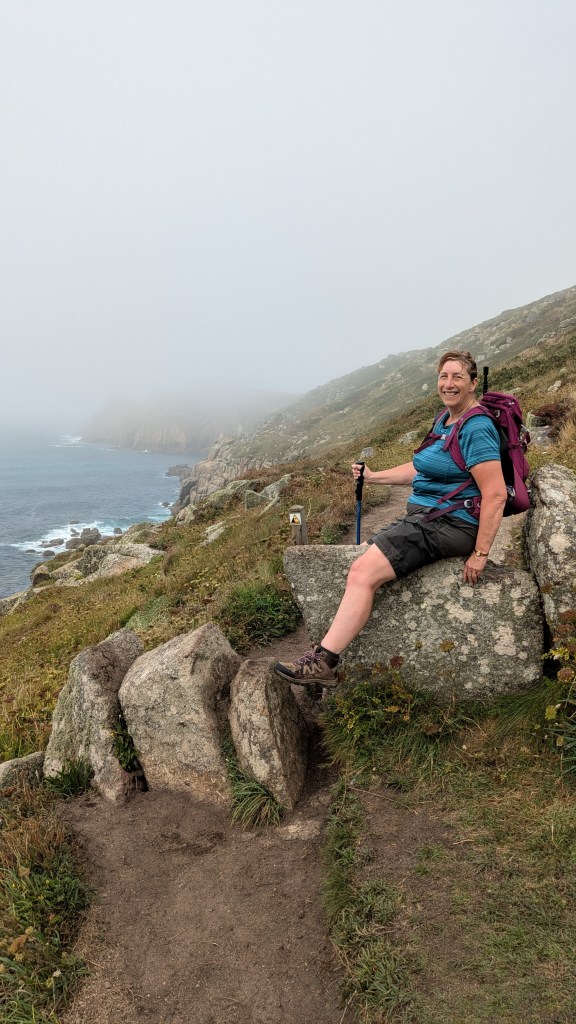
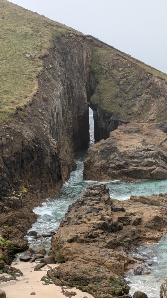
By 11.20 am we had climbed up and down what I called a “mountain”, but the track in between had been easier going, with some heathland to cross. The route had been littered with old mine shafts, and I discovered that Paul had some inexplicable desire to poke his head into every opening, or look down into the holes. We were alone until lunchtime, but after some refreshment, we began to meet other walkers. Although there were some tricky sections, there were also easier tracks, unlike the sheer relentless slog of the previous day. However, as we approached Sennen beach, there was an increase in the scrambling and climbing-for once, I took a photo of a pile of rocks we had to clamber over!
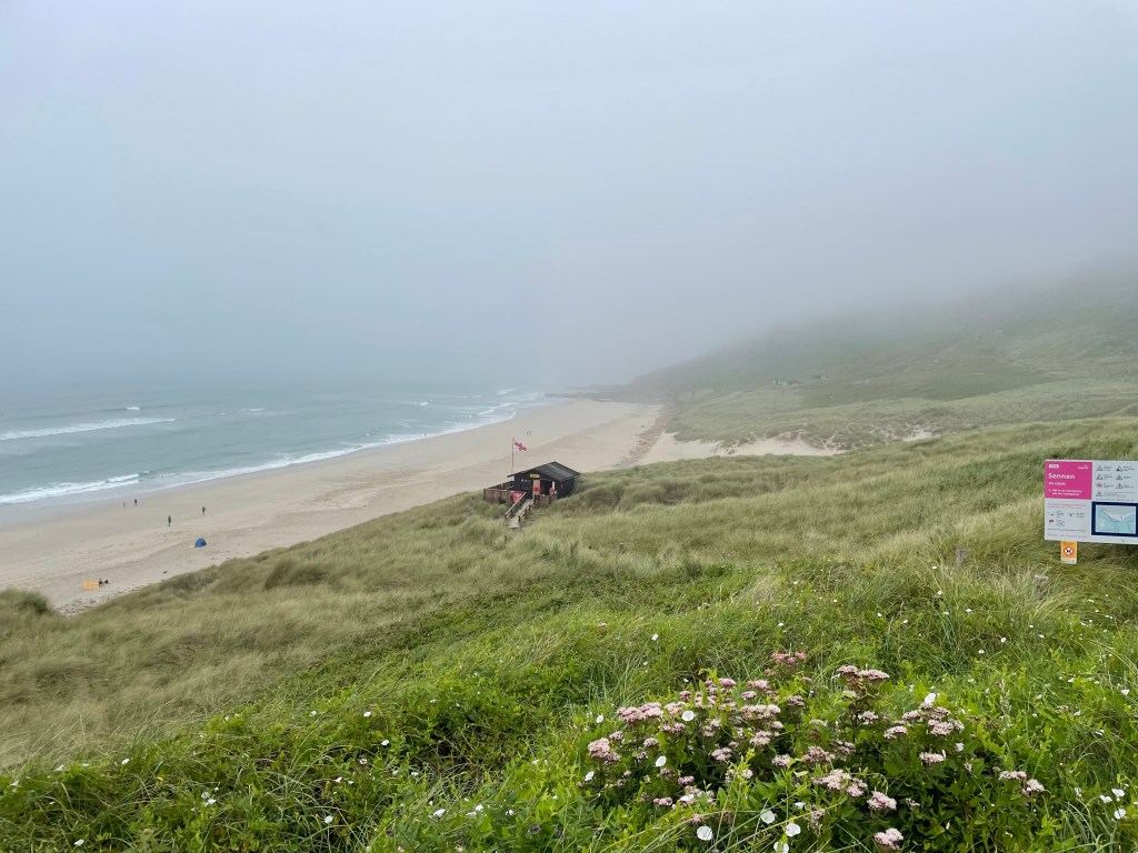
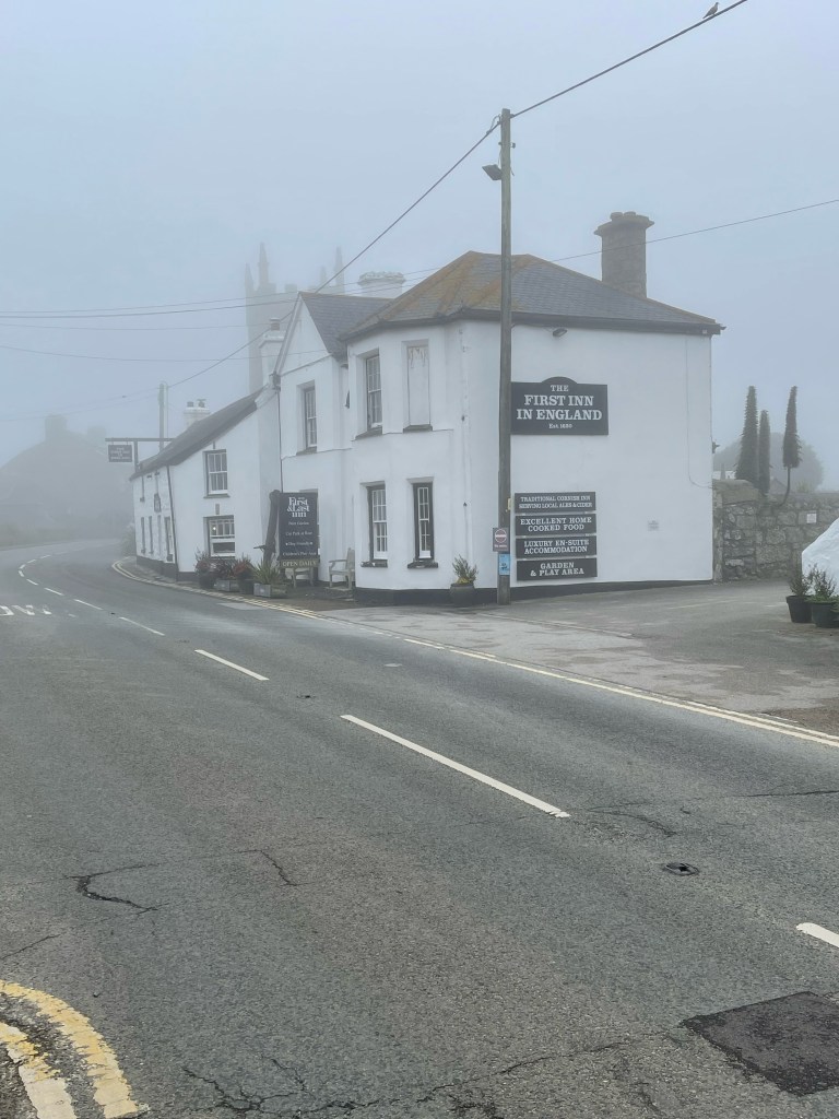
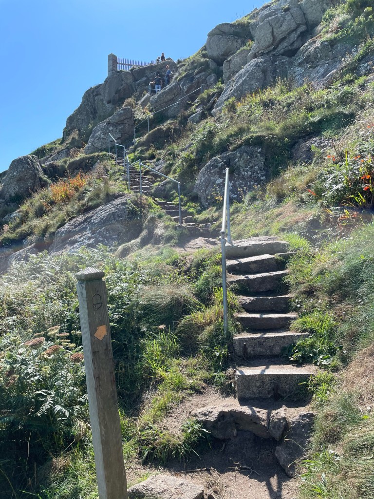
Due to the fact we had missed out part of the Path, we reached Sennen Cove quite early, at 1.30 pm. Although we had a leisurely lunch, and there was still further to go inland to our accommodation, we were way ahead of time. Fortunately, our host agreed we could check in an hour early, so we headed out of the village. This entailed leaving the Path and climbing up a series of very steep steps past the houses. Now, although we haven’t walked the actual Path between Sennen Cove and Land’s End, we did walk an almost parallel route across Treeve Moor, so we are counting that as a section completed. You could even say we walked a bit extra, as we got lost on the moor! There was a visible sort of track, just grass between the wild plants, but after we’d gone a short distance along it, Komoot was directing us off to the left. We decided to follow the App and found ourselves just tramping through undergrowth, heading for a boundary clearly marked “no access”. Time to cut our losses and make our way back to the track, which led us to the road we were aiming for. Our accommodation was less than a mile away, and our dinner that night was eaten in the nearby pub The First and Last Inn, named for its proximity to Land’s End. The next day would start at this famous extremity of our island.
Stats of the day:-
Time 2hr 31mins. Distance 6.74 miles. Pace 2.7mph. Ascent 625ft. Descent 750ft.
DAY 4 SENNEN TO TREEN
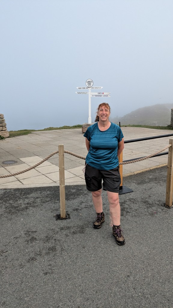
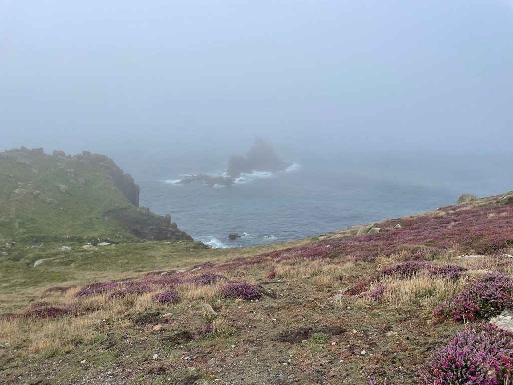
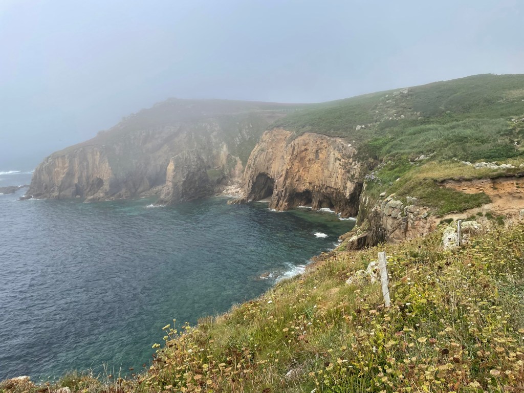
After being let down by the bus service 2 days earlier, it was not without some trepidation that we stood at the bus stop near our guest house awaiting the 9.46 am Coaster bus that would take us to Land’s End. But right on time, it emerged from the grey gloom, and 20 minutes later, we were joining a throng of tourists heading into the complex of kiosks, shops and bars. I got my passport stamped, and we had a drink before heading out to the famous signpost. Unlike the John O’Groats post, this one is cordoned off for official photos only, so I just posed in front of the rope [we are a couple of cheapskates after all!]. Despite the commercialisation of this landmark, we had only just started walking eastwards to feel a real sense of standing on the very edge of our island. The mood was perhaps aided by the weather, the rocks offshore barely visible in the mist, as if we had reached the edge of the world, or entered into the Cornwall of myth and magic. It must have been quite an atmosphere to move a normally prosaic person like myself!
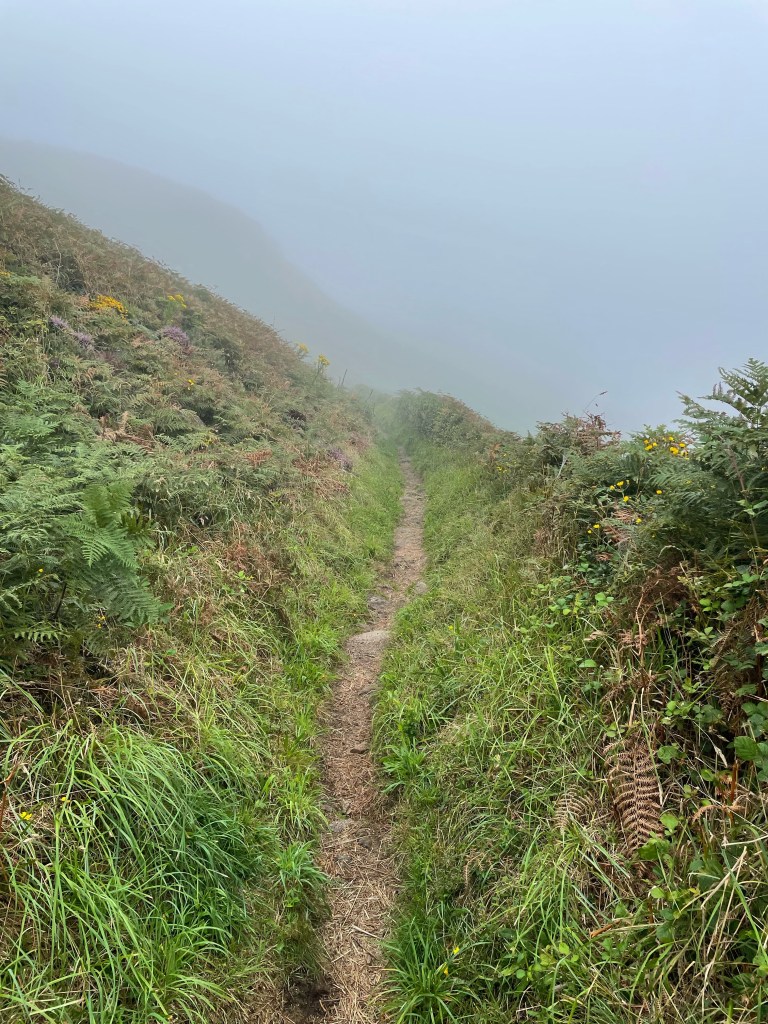
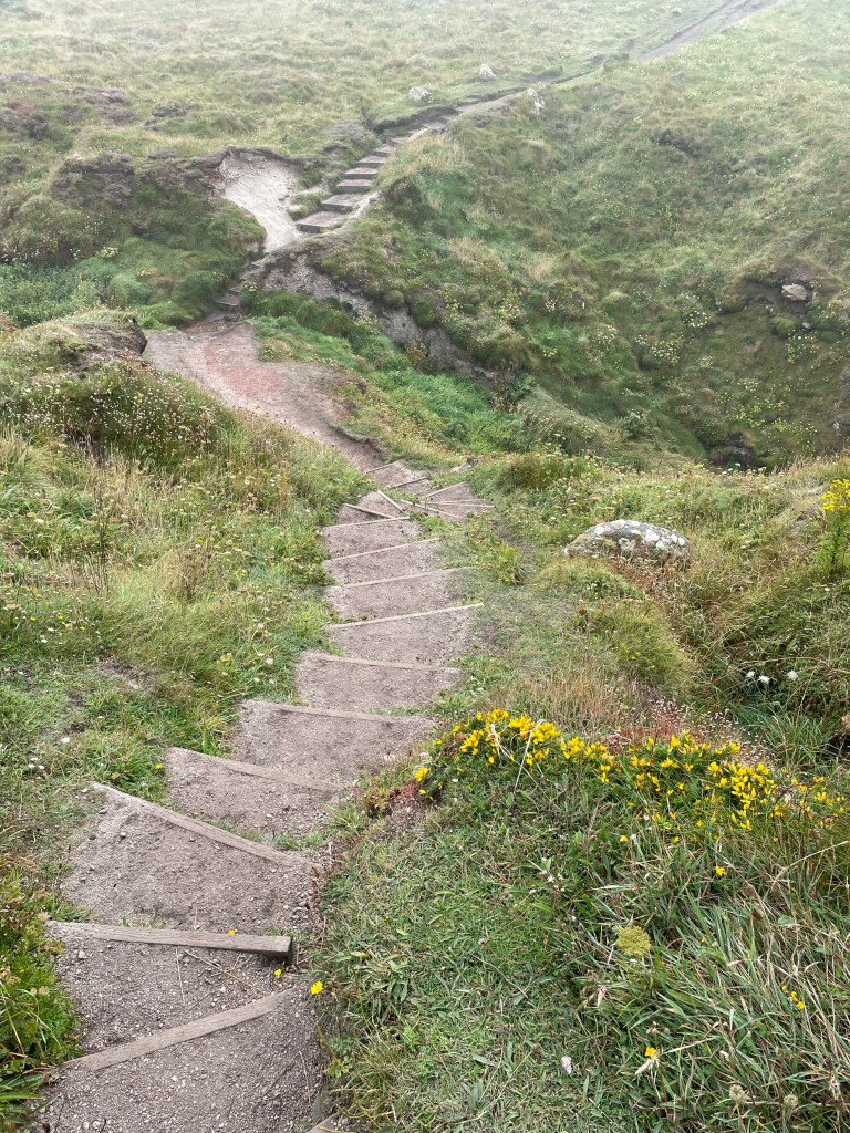
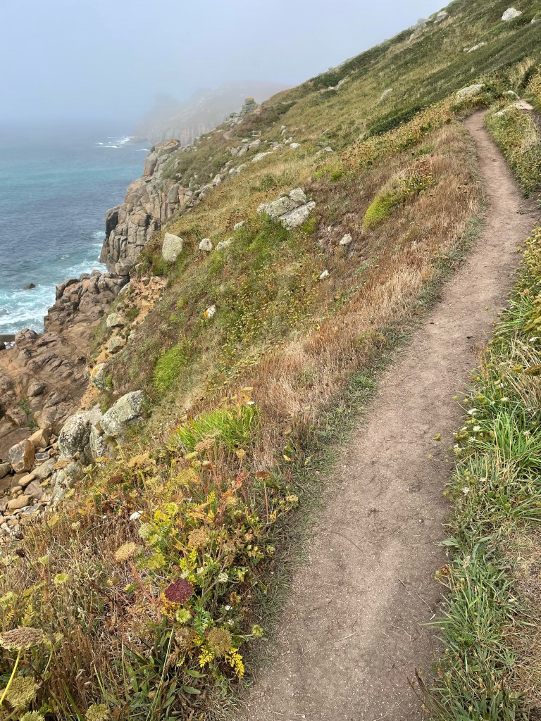
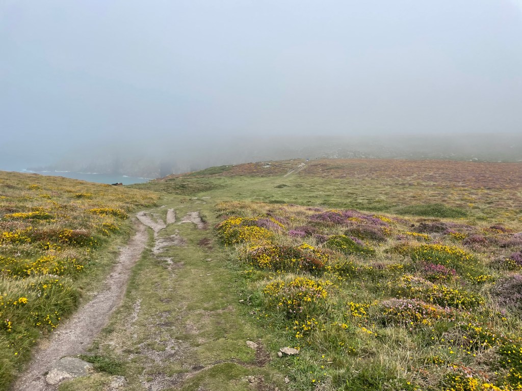
As for the Path, the terrain was now much more open moorland on top of the cliffs, covered with plenty of heather. There were some steps up and down in places, but nothing too severe. Unfortunately, my second voice memo is completely drowned out by the sound of the wind, so I guess that was our main challenge as the morning proceeded!
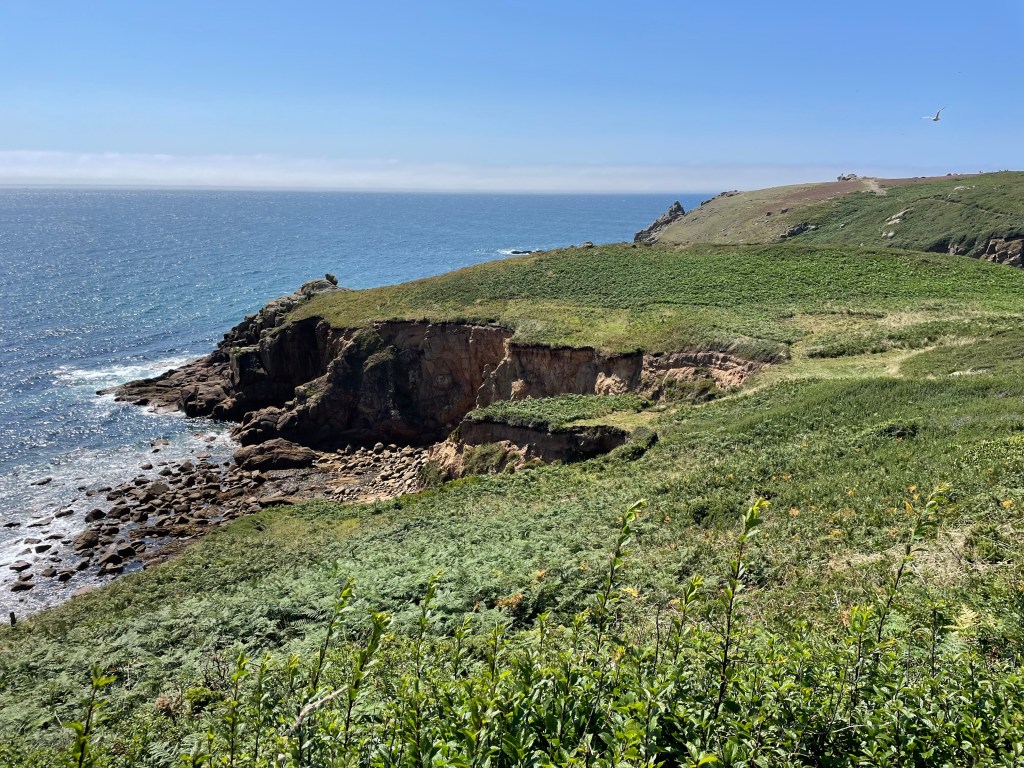
We stopped at Porthgwarra beach cafe for a Cornish Pasty at 1 pm, and by the time we were ready to continue, the sun had come out and burned off the mist. The sun hats came out, the sky was blue again, and we could see the sea. We were hoping to get a look at the Minack Theatre, an outside amphitheatre cut into the cliff side, but you have to pay to go in, so we just passed the entrance and carried on [cheapskates, remember] towards Porthcurno beach. The theatre is quite high, so there was a very steep, narrow series of steps down to sea level. Once through the village, we headed inland to Treen, where we were staying. It had been a very pleasant day’s walking, moderate by Coast Path standards, very enjoyable overall.
Stats of the day:-
Time 2hr 25 mins. Distance 6.53 miles. Pace 2.7mph. Ascent 825ft. Descent 800ft.
DAY 3 PHOTOS
DAY 4 PHOTOS

Leave a comment