DAY 1 PENZANCE TO PERRANUTHNOE
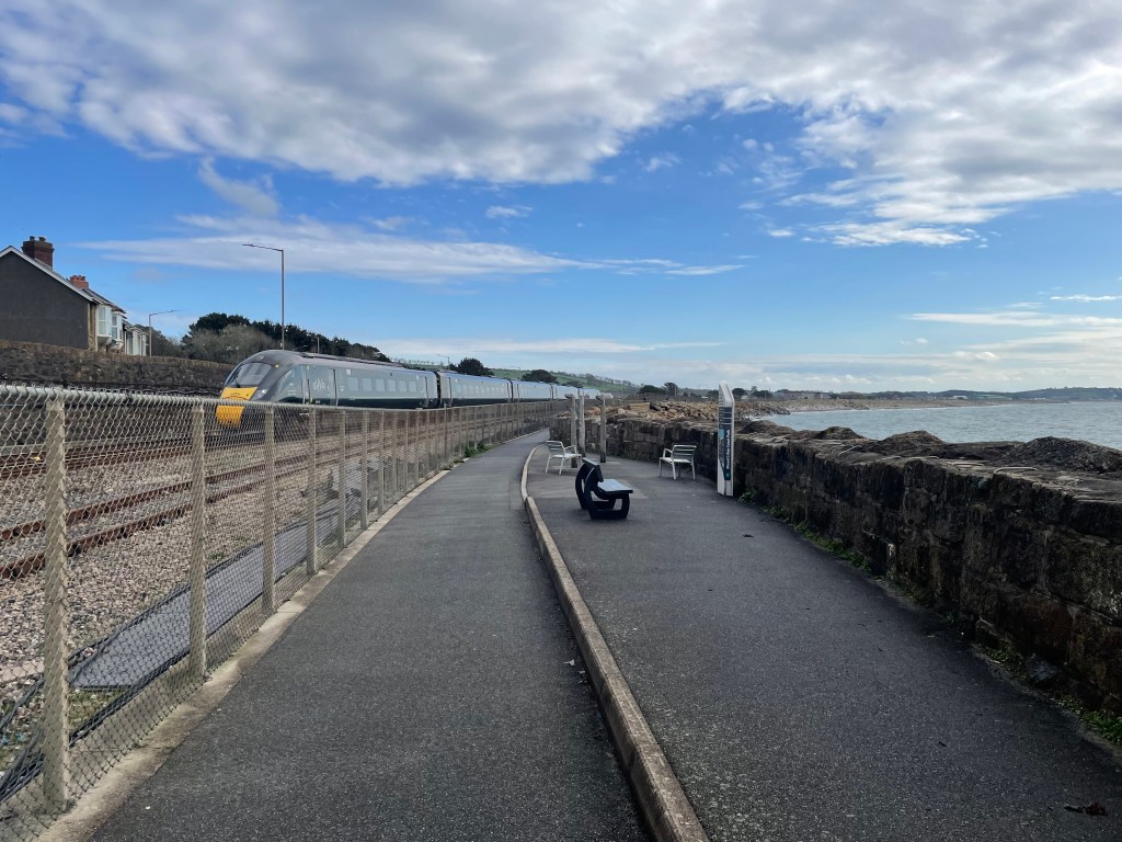
Who knew that simply finding a car park could be the trickiest part of our journey along the SWCP? Our drive to Falmouth had been smooth sailing, but as we approached the town, the satnav took us off into a residential area away from the coastline where the parking was located. The roads got narrower and narrower, steeper and steeper, but I realised we were up on a higher level, and it was unlikely this route would get us to the car park. Still, Paul persisted until we literally reached a dead end. So I used google maps to navigate us around the town to approach from the south-all good until we reached the main shopping road which was signed no entry for cars. We circled again and this time tried to approach from the north, which was more promising until we got to a road closed sign-this must have been the reason the satnav couldn’t get us there. For the third time we circled around, this time aiming for a long stay car park by the station that Paul had spotted earlier. He was getting a little tetchy at this stage [understandable, although it was me at the sharp end!] but fortunately, we made it to the Plan B car park. We gathered our belongings and then had a bit of a wander around while we attempted to find the actual station, as the next stage was to catch the train to Penzance. It wasn’t surprising we missed it-there is no station, it’s just a platform and a shelter! The tracks were covered in weeds, looking as if it hadn’t been used in years, but a few other people were waiting, and right on time, a train turned up. By the time we got to Penzance it was raining, but I had booked a stay in a pub a mere 100 yards away [it’s almost as if I planned it!] so before long we were warm, dry and resting.
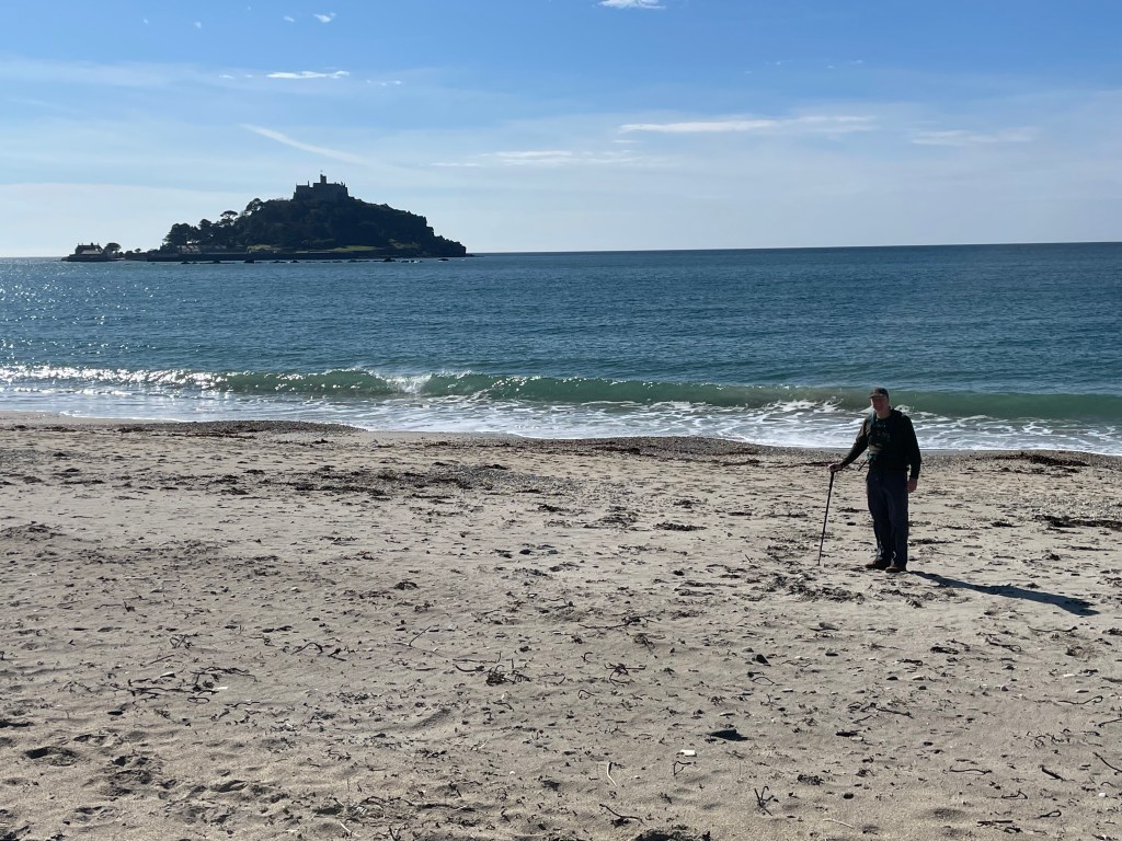
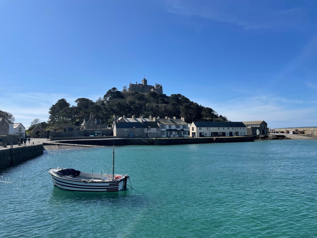
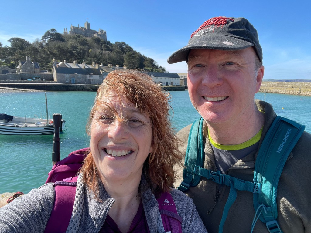
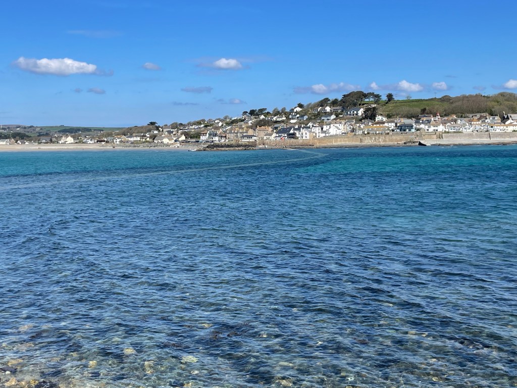
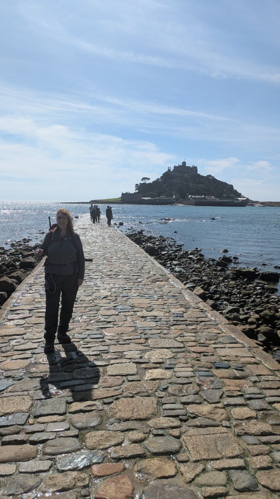
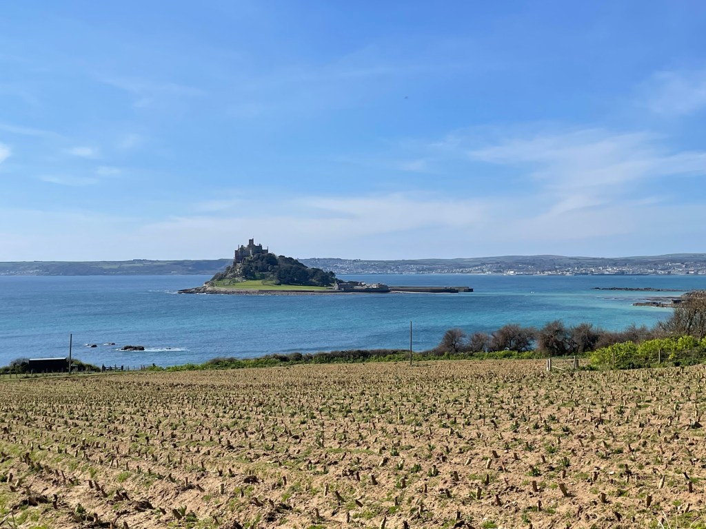
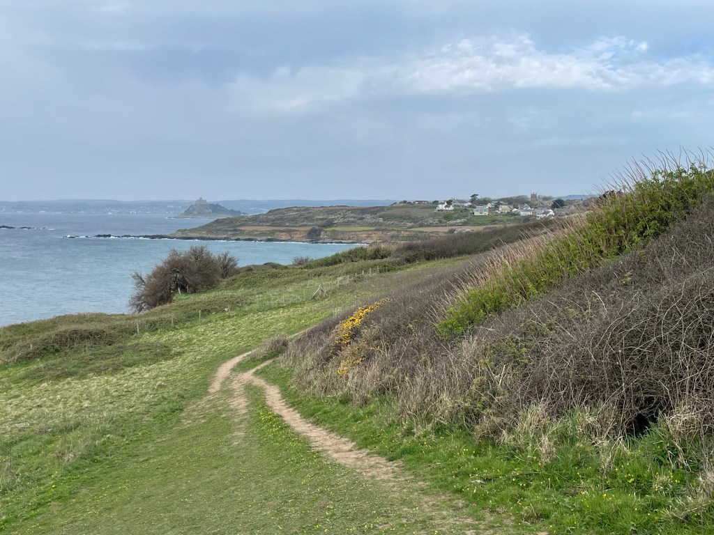
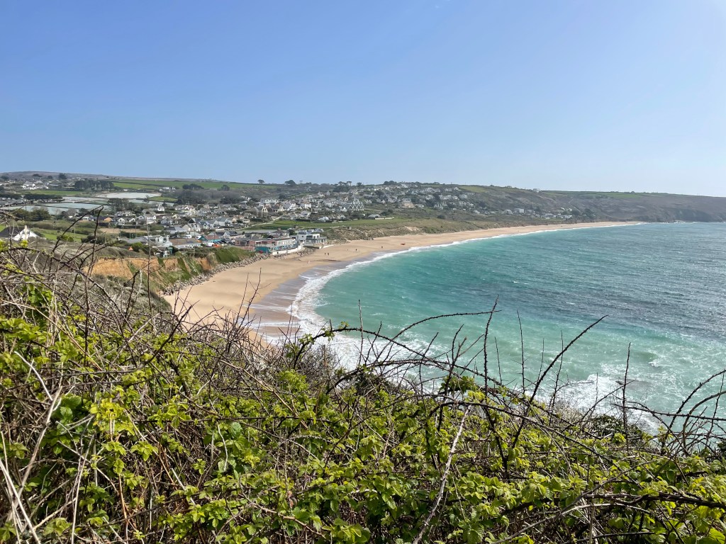
The next day began with a moody atmosphere, but with the promise of sun later. We left late, at 10 am, as we had a modest walk to start this week off. The first three miles to Marazion were very easy, a tarmac path running between the railway line and the sea, adorned with modern sculptures at regular intervals, and St Michael’s Mount in the bay. At Marazion, we bought tickets to visit the Mount-the tide was still quite high so it was a pleasant boat ride across to it. We didn’t have time to see the castle, but we did visit the museum, detailing the history of the resident family and islanders, before staying for lunch. I got my Coast Path passport stamped there [they have a special one of the Mount, not the usual wheal mine stamp for this region]. We decided to get the last boat back to shore so we could continue on our walk, otherwise we would have been stuck until the causeway was completely visible, though we did get to walk on it a little as the tide was on its way in.
By 1.30 pm we were heading out of Marazion, the sun had appeared, we’d eaten our first Cornish pasty for lunch, and we were feeling good. We knew we would have to leave the road and head back to the coast at some point, and I soon spotted a sign-Komoot did not agree, it had us continuing along the road further, but we decided to follow the sign instead. Following Komoot blindly had got us into trouble in the past, but then again, so had ignoring it! All was well this time, we just walked alongside a field instead of the road.
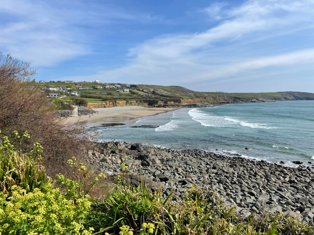
The next section to Perranuthnoe was fairly typical of the path-a baked earth track with embedded stones skirting fields, until we got to the village. Our pub was another half mile uphill [why is it that the last half mile always seems double the distance?] and we were a bit early for check in, but were able to relax with a drink until our room was ready. It had been a good warm up walk, but I was dismayed to feel my little toe was already giving me signs of distress-I would have to wrap it up before we set off again.
Stats:- Time 2hr 39 mins. Distance 7.18 miles. Pace 2.7mph. Ascent 300ft. Descent 275ft.
Bear in mind the distance includes us wandering around the Mount.
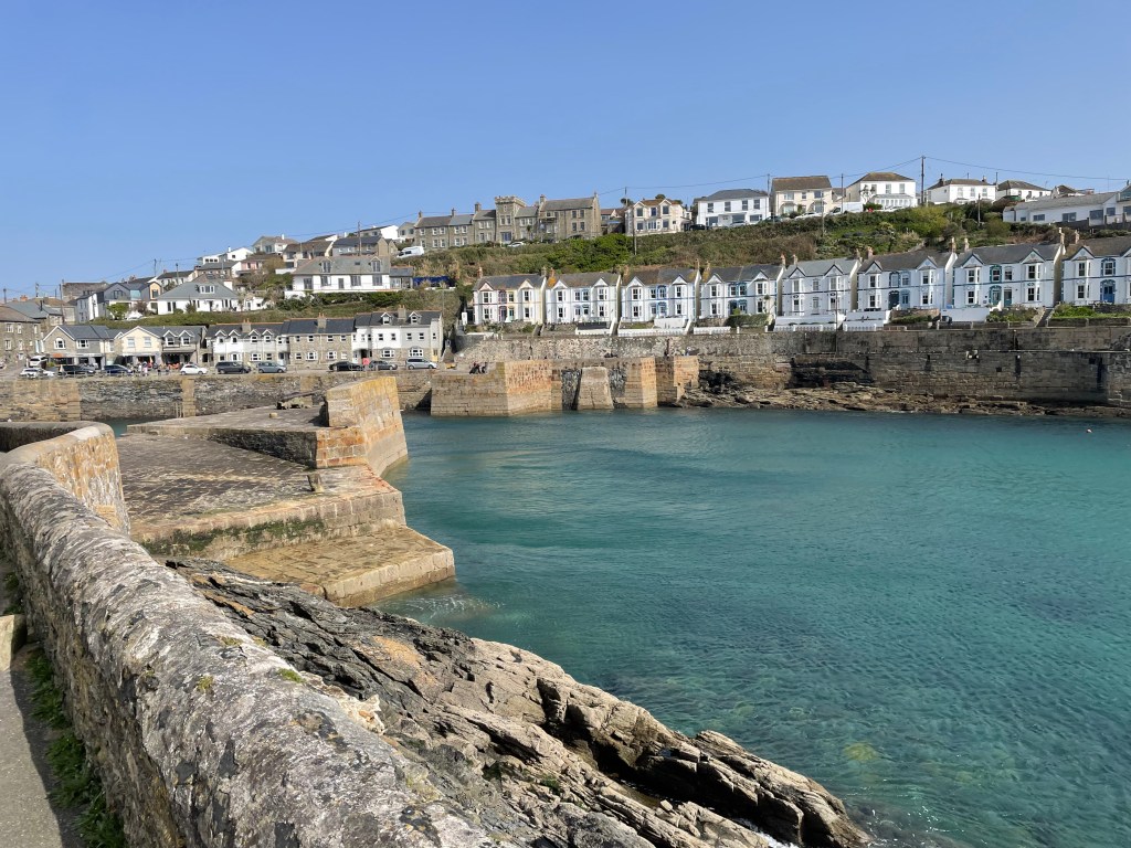
DAY 2 PERRANUTHNOE TO PORTHLEVEN
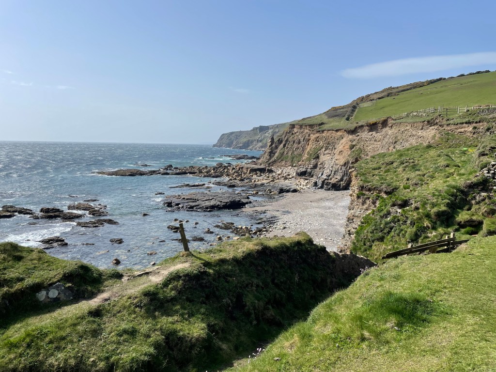
This section should have been another really nice walk; true, it had its challenges, as does most of the Path, but nothing too extreme regarding terrain or distance. Today, it was the turn of the British weather to throw us a curveball, in the manner of fierce winds, gusting up to 40 mph. I mean, it’s hard enough scrambling over rocky cliffs, without worrying about being quite literally blown over!
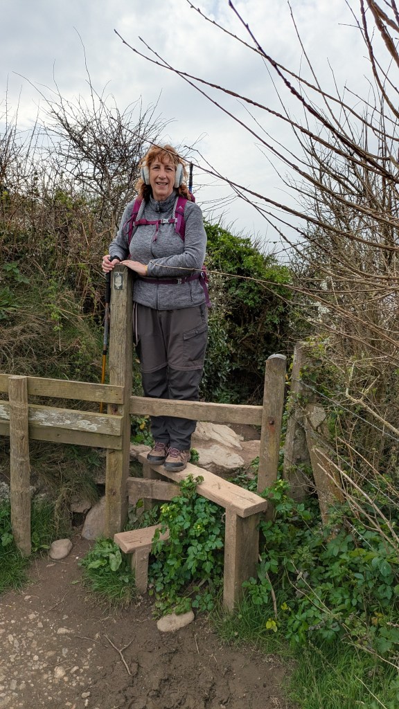
We’d set off at 9.45 am under a cloudy sky, on a track through grass, with occasional scrambling and steps up and down, but all fairly moderate. The wind was already quite strong so I had deployed my ear muffs. For the first time in ages, we passed through a couple of kissing gates and stiles-there had been a complete absence of these on our previous leg. Some stiles can be tricky if you have to cock your leg up high whilst managing a couple of walking poles!
We got to Praa Sands at 11.30 am after a section I described as ‘relentless’; not overly difficult technically, but very bitty, with ups, downs, and scrambling, but nowhere to have a rest. I think I was getting tired quickly because this was our first serious walk of the year, and our legs were working extra hard pushing against the headwind. We had an hour long break at the Wellow Cafe before starting on the remaining five miles.
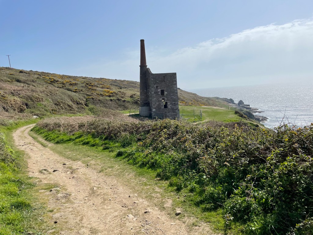
Until we approached Rinsey Head, it was easy going, including a bit of tarmac relief, and we even had some respite from the wind as we passed alongside the ruin of Wheal Prosper Mine. I’m afraid that was short lived though; the worst part of the day was about to hit us, as we headed up to the top of Trewavas cliffs. We were suddenly exposed to an onslaught of gusts, just as we were walking over an unstable rocky surface. There are no photos of this as I was gripping my poles and using all my balancing abilities just to stay upright. I used the word ‘brutal’ to describe this in my voice memo, as my legs were so tired now. On heavy legs, the last mile and a half into Porthleven was a slog, despite the fact we weren’t always walking into a head wind, though we did get walloped by a final last blast as we reached the harbour.
We liked the village, there was plenty of life and choice of restaurants. We walked a short distance to a pub, but got really stiff whilst we were sat there. Nothing reminds us of our senior status so much as creaking our way slowly upright! But after a night’s sleep, we had loosened up again, and facing a shorter distance to cover and a drop in wind speed, we set off the next day feeling positive.
Stats:- Time 3hr 21 mins. Distance 8.73 miles. Pace 2.6mph. Ascent 950ft. Descent 1025ft.
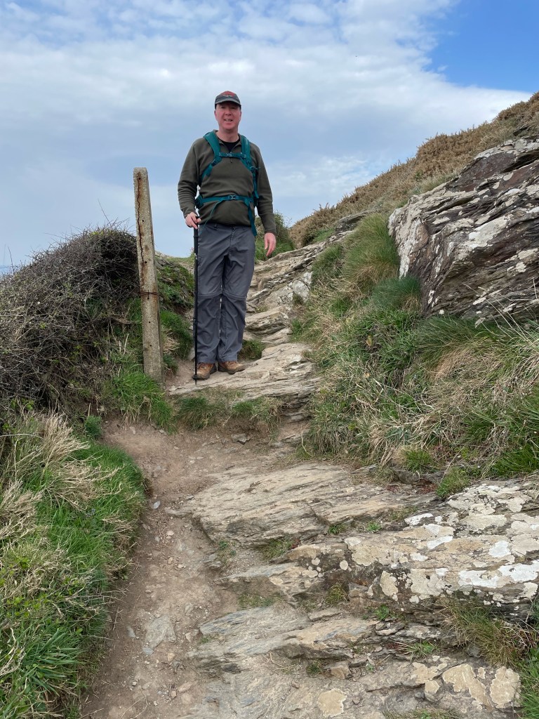
DAY 1 GALLERY

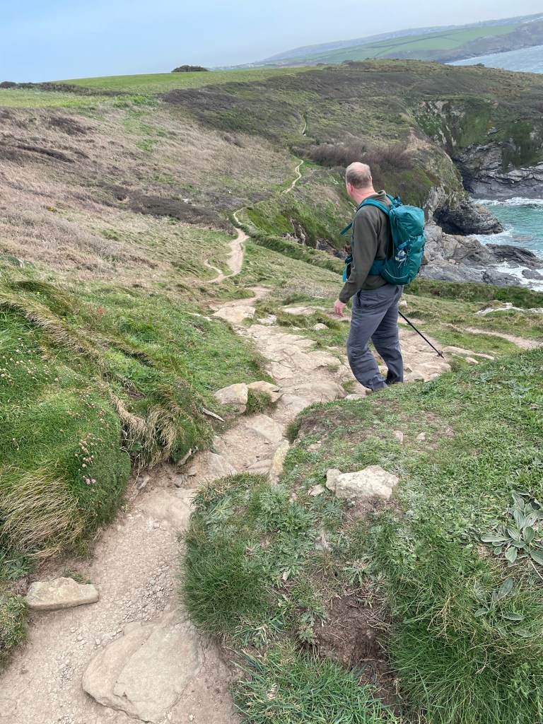
DAY 2 GALLERY

Leave a comment