DAY 7 COVERACK TO PORTHALLOW
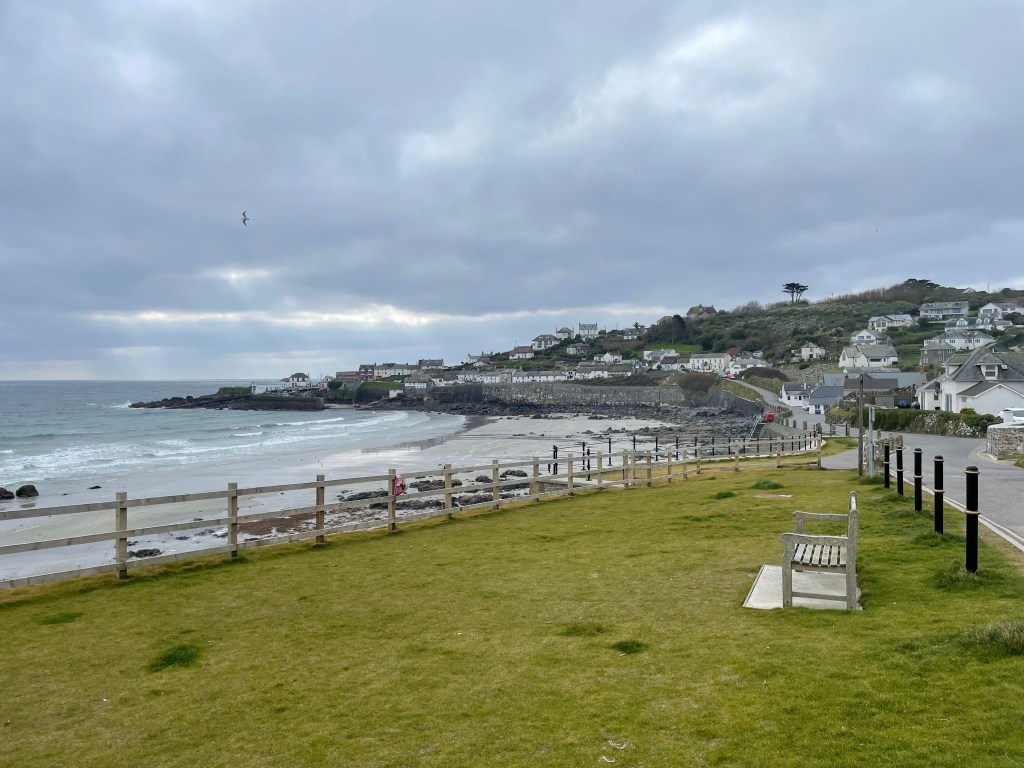
There is nothing worse than looking on the map to see a beach cafe marked, anticipating refreshment, yet arriving to a closed building! It was particularly galling on this occasion, as we had arrived at our destination [Porthallow] early, way ahead of check in time, slightly damp and getting colder by the minute. The village is quite picturesque, but has zero facilities-no pub, no shop, and apparently, no cafe either. We sat on a picnic bench and rested at least.
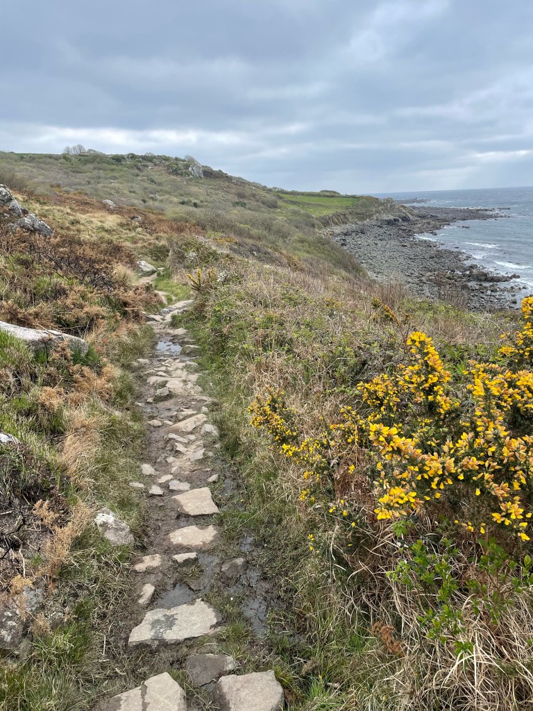
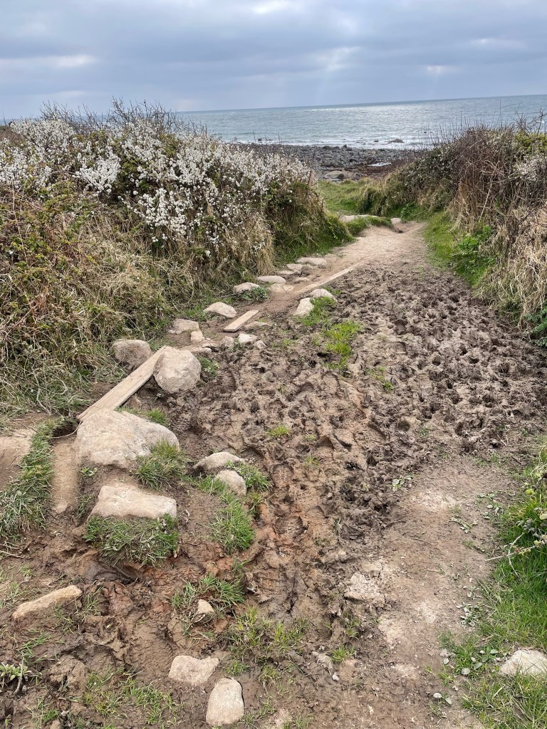
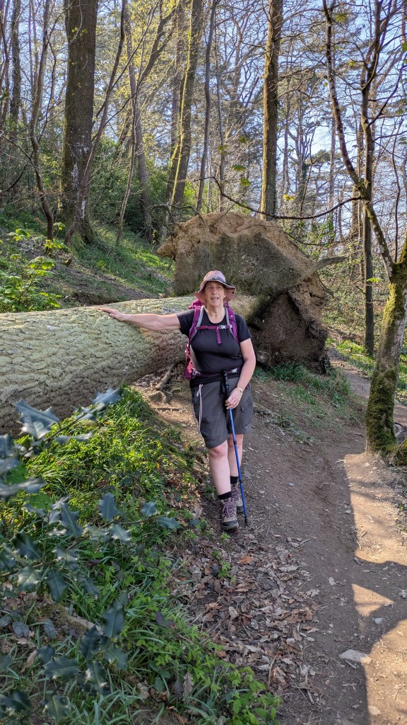
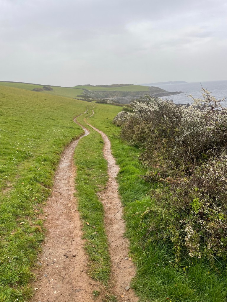
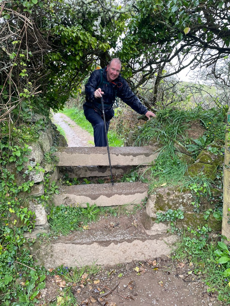
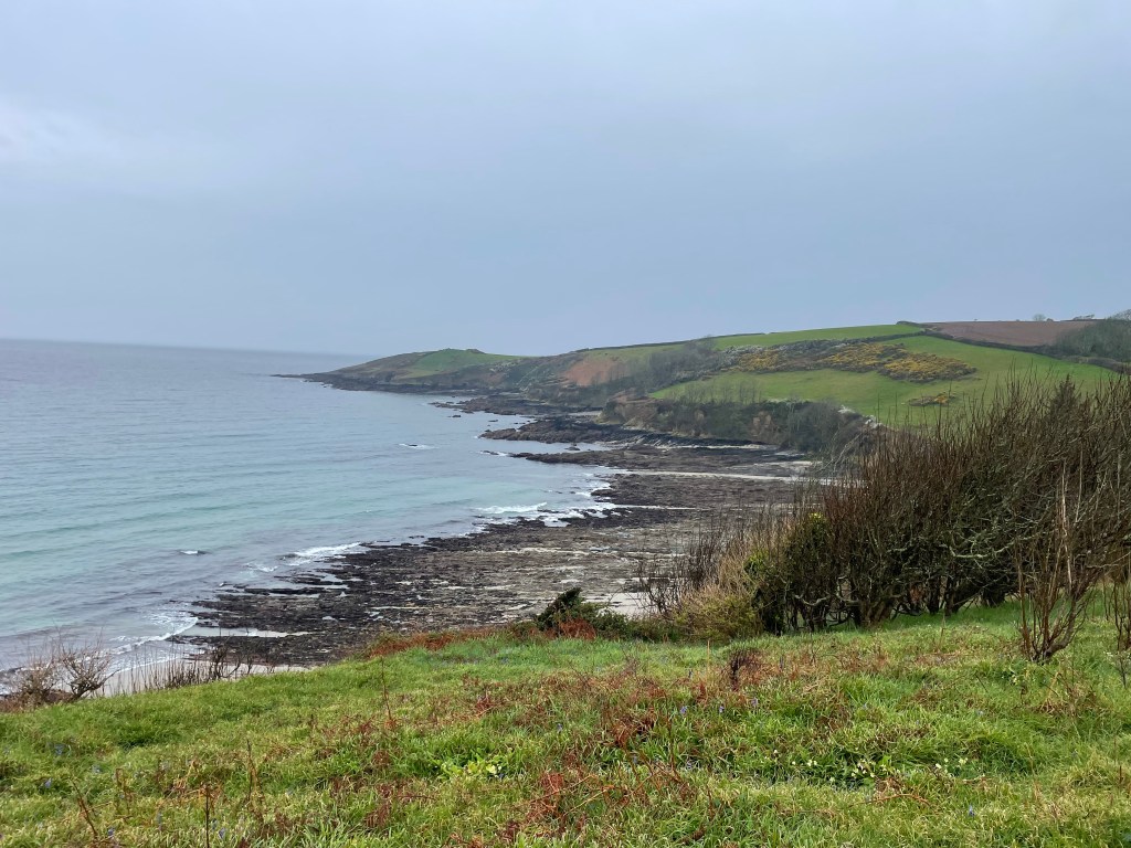
The day had started out with more scrambling, and I am pleased I actually remembered to take photos of the paths, not just the views. Hopefully, you can now appreciate that walking over stones embedded into the soil and protruding in odd angles is not the most comfortable surface! We also faced patches of mud in places and drizzly weather, but the elevation was modest today.
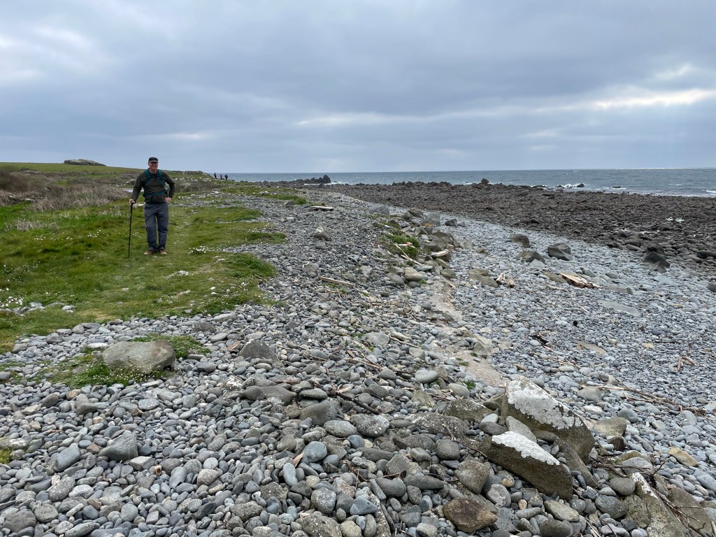
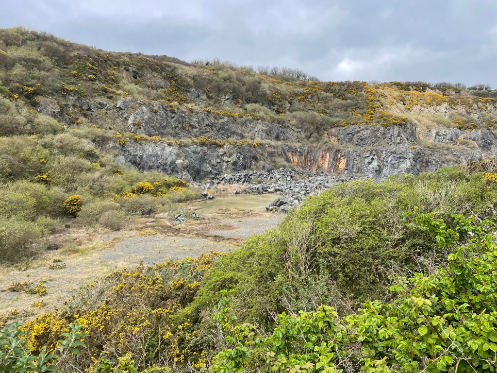
At Lowland Point we passed an old quarry, and then diverted inland to approach Porthoustock. This is a tiny hamlet by the beach with no amenities, but they do maintain public toilets [heroes, in my eyes!] and we had a short break here before the inevitable ascent up the other side.
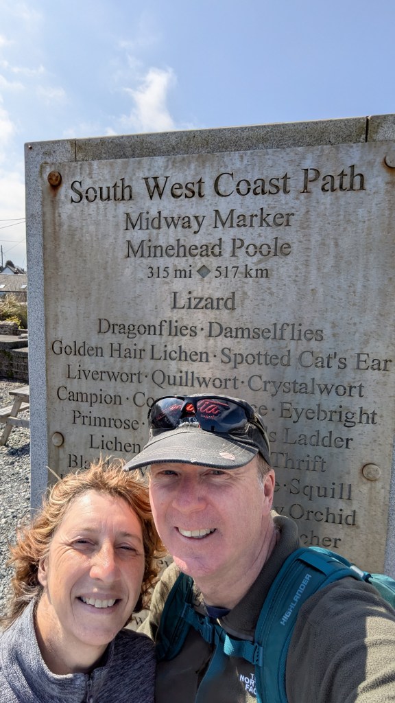
The route yet again went inland, with quite a bit of roadwork, aside from a woodland track section alongside some of the noisiest sheep I’ve ever heard. Getting back onto the road again took us into Porthallow-not just our stop, but also the official midway point of the Coast Path. Obviously, we posed at the marker, not sure if our random sections here and there added up to 315 miles [back at home afterwards, we realised we had walked more than that] whilst we wondered if we could check in early. Thankfully, our bed and breakfast host was happy to let us in, though as we had arrived ahead of our suitcase, we couldn’t shower and change just yet. With no other options available, both dinner and breakfast was provided by the host [nice little extra earner for him, glasses of wine on offer, what’s not to like?] and we met another couple walking the path-always nice to exchange stories!
Stats:-
Time 2hr 45 min. Distance 5.16 miles. Pace 2.6mph. Ascent 525 ft. Descent 550 ft.
DAY 7 GALLERY
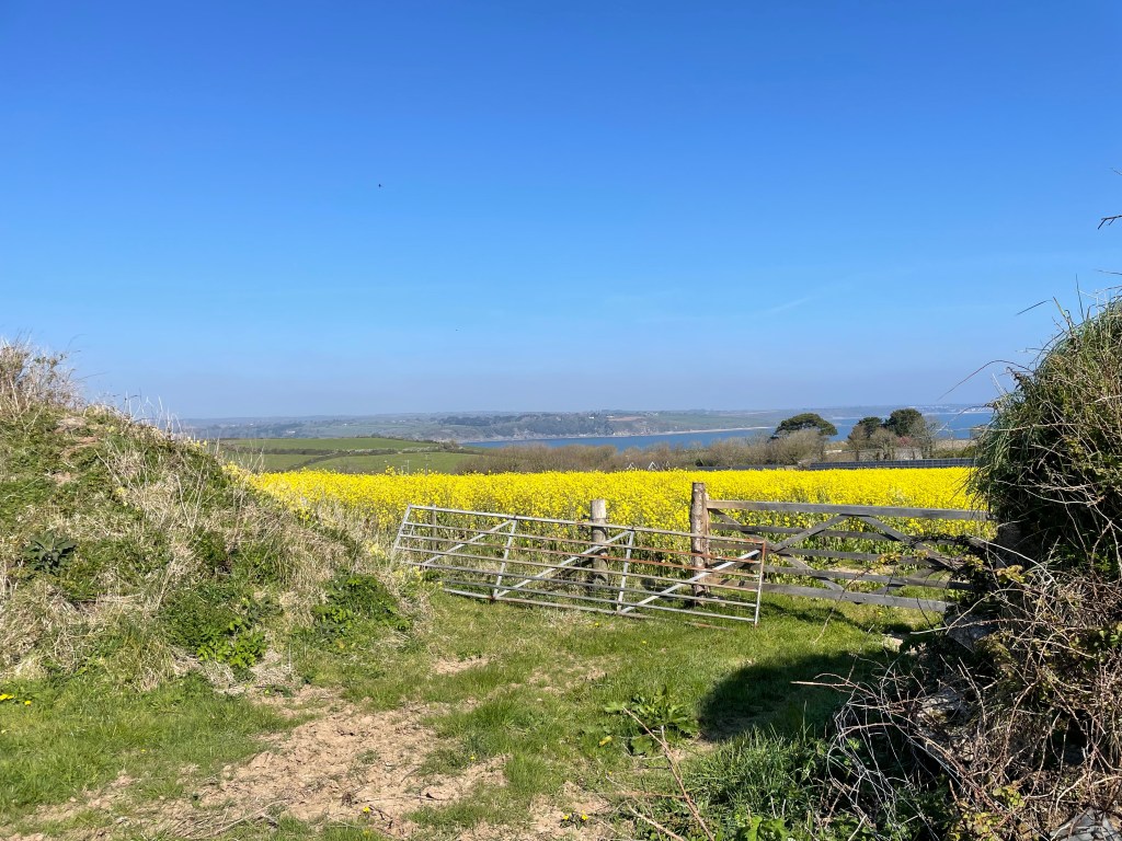
DAY 8 PORTHALLOW TO MAWNAN SMITH
I suppose I have to label today as my second worst day on the Path, but that would be to paint a far too negative picture for a day that, aside from the one bad incident, was otherwise rather lovely…
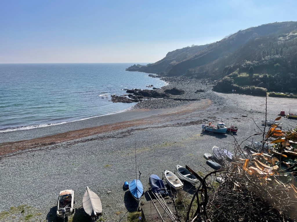
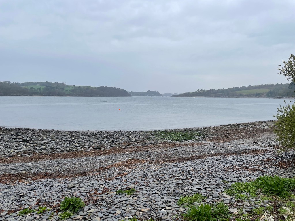
We had a late start, setting off at half past ten, heading back through the village to the shingle beach, which had a smattering of coloured boats upon it. It was a glorious day, such that after the usual ascent out of the cove, it was fleeces off.
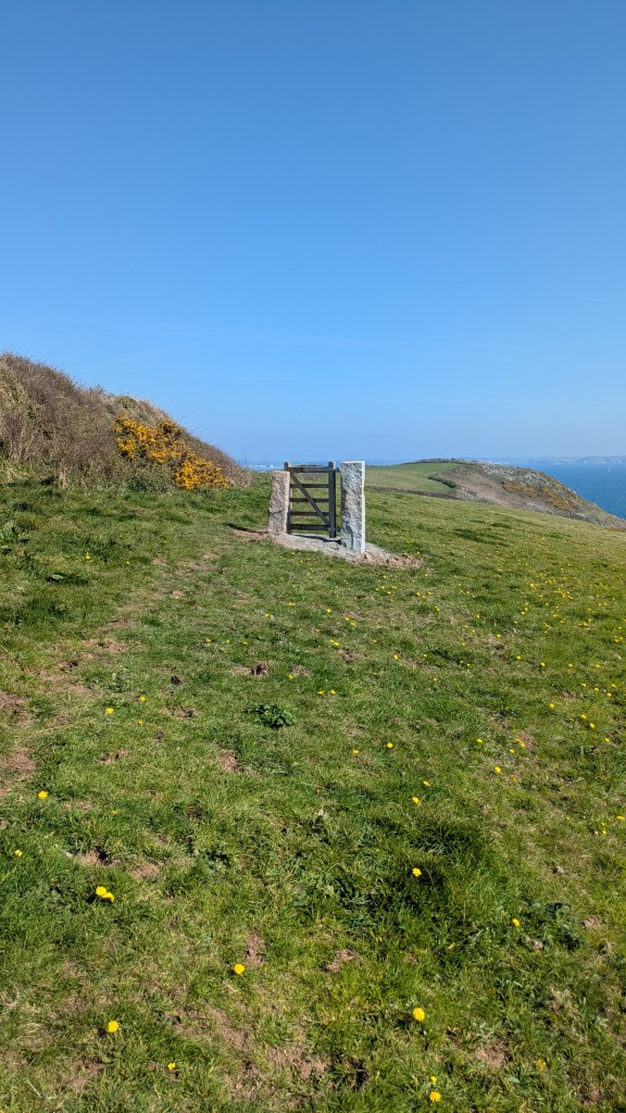
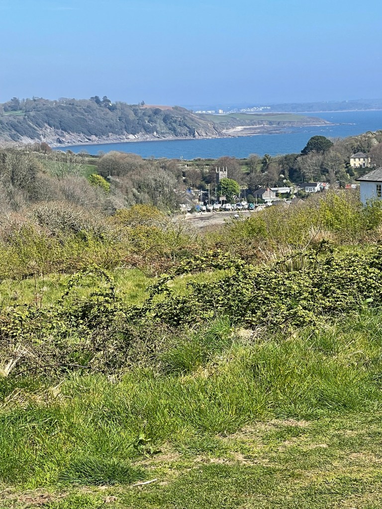
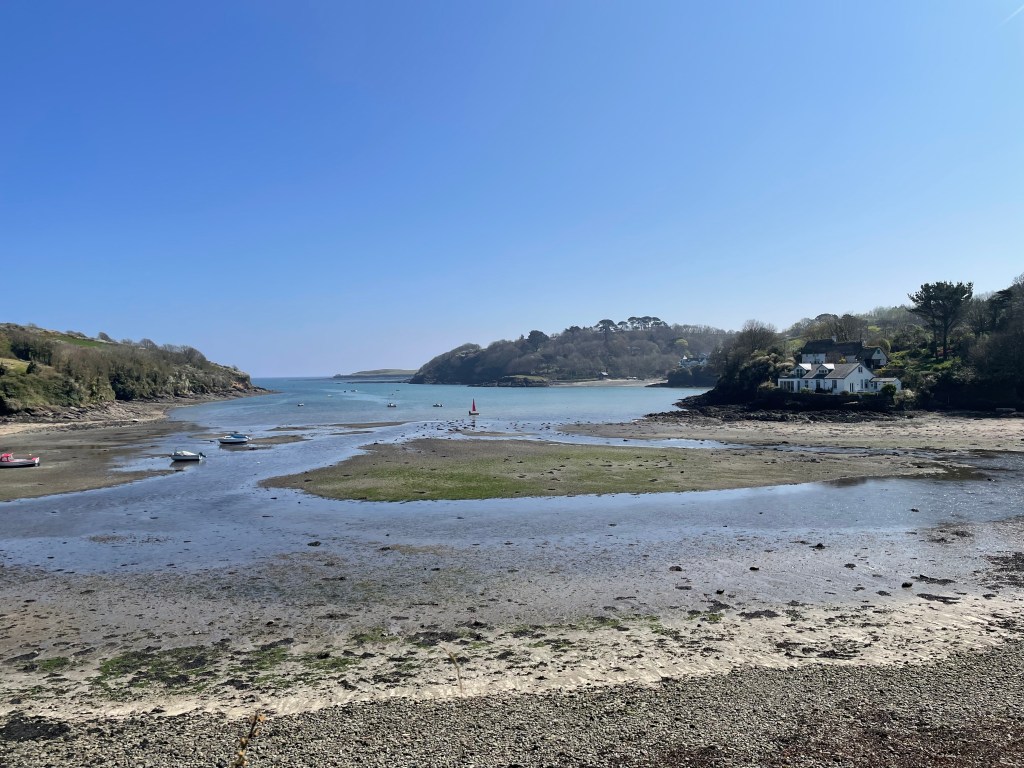
After an hour, the path took us inland, along a road through the village of Martin. Then there was a signpost heading into a field (and Komoot agreed) but we soon came up against a metal fence that was tied very awkwardly to a hawthorn bush. We managed to wrestle it open, only to be faced with a taped off section which the App indicated we should cross. In fact, we thought we could see the exit directly opposite, but there was no way we were going to crash across the barrier! We checked to see if there was an exit in the adjacent field, but no luck, so we felt the safest thing was just to go back to the road and walk around. Unfortunately, this took us on a rather circuitous route, and we arrived at Gillan Creek further inland than we were expecting. The creek has a ferry crossing to St Anthony in Meneage, but at low tide, there is a series of stepping stones for walkers to reach the other side (though I was nervous about doing this). However, there is a walk around through woodland, which adds about a mile and a half-as we were already part of the way along the creek, we decided to pursue the walk around. It was lovely to get some shade in the woods at the same time! We were glad to have a rest at St Anthony at the shop/ferry point, enjoying both an ice cream and getting my passport stamped (the vendor was delighted to finally get the ink pad out of its wrapper, as I was the first person to ask for a stamp!).
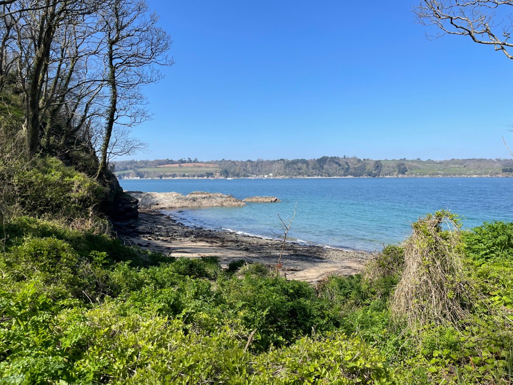
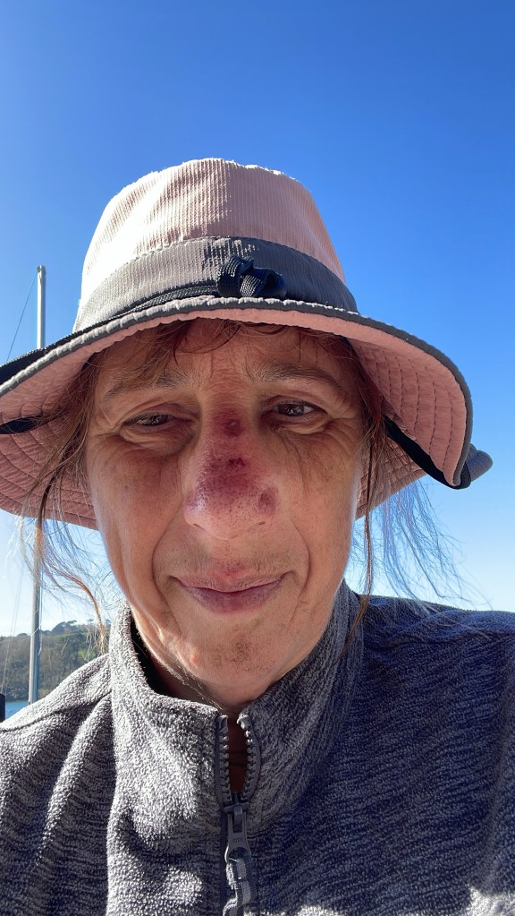
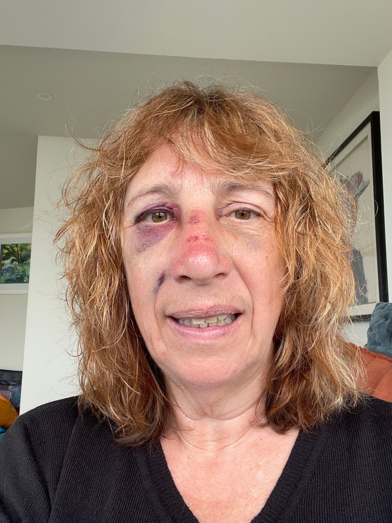
We were both feeling good as we set off again, on a nice easy path around the headland. I think this was why I came a cropper, I just wasn’t paying attention to the ground-I tripped on a protruding stone and with no time to put my hands out, my face, and nose in particular, took the full brunt of my fall. Apparently, I let out some sort of yelping sound and Paul hurried back to where I was lying prostrate. He immediately tried to haul me back up (don’t do this, you need to process things first and get up in your own time) and when I was upright, started dabbing at my bleeding nose with a tissue, which promptly got filthy, because I had dirt all over my face! Actually, there was also dirt in my mouth, so I began spitting it out, and halted the dabbing so I could swill my mouth out with water. Amazingly, the pain of the impact began to subside quite quickly, though I could feel that my nose had immediately swollen. In fact, I was worried I might have broken it. However, there was nothing else I could do but carry on for the time being, though I did clean myself up as best I could, and I took a couple of Naproxen anti inflammatory/painkiller tablets. The Path has now taken blood, sweat and tears from me!
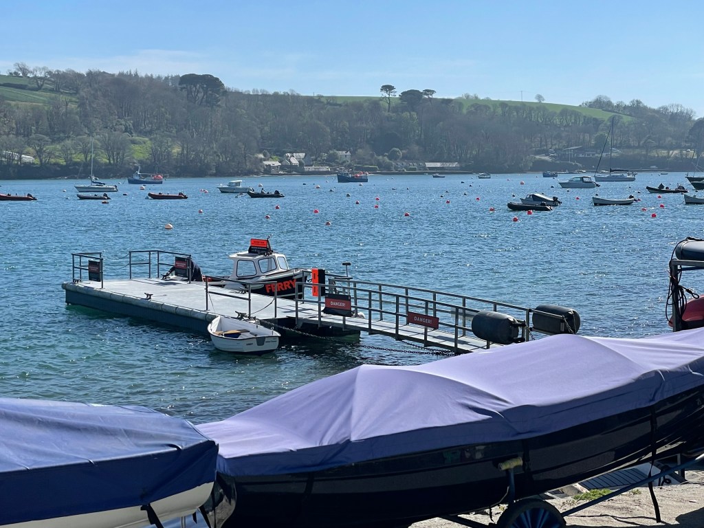
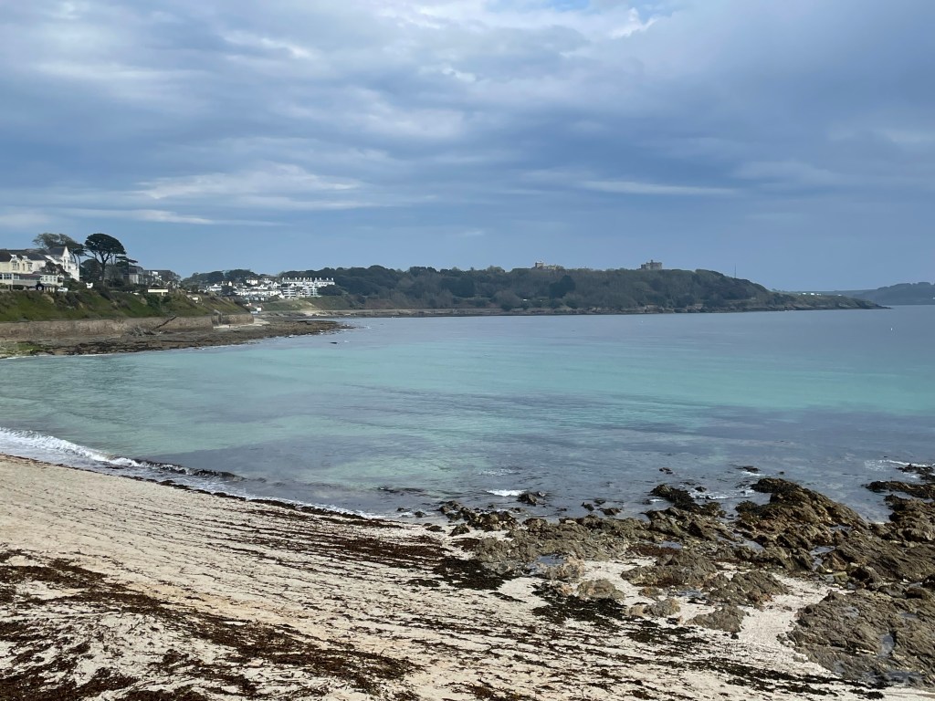
By three o’clock we were walking alongside the Helford Passage, a very scenic inlet, but one of those sections where you never seem to reach your destination (in this case, the Helford ferry crossing point). I took out my phone to record a voice memo, but my FaceID wouldn’t work, presumably because my nose was so horribly deformed! At least it was sunny and pleasant to be outside, as it seemed like we were never going to actually get to the ferry-we had to go all the way through the village and ask where it was, but we finally arrived just as the boat pulled up, so we got straight on it to take us to Mawnan Smith. We were too early for check in, so we had a drink at the Ferry Boat Inn, before we made our way up a final hill to our AirBnB stay-the most expensive stop of the week! Having said that, it was a beautiful house, with a lovely bedroom and en suite (and the owner let us in early). I could now assess my injuries properly-although the nose looked bad, it was my arm that was hurting and tingling; evidently I had landed on that too. On a positive note, despite walking extra mileage, my toes and feet were in good order. We had just one more day of walking to reach Falmouth, so I was confident we would complete this section as planned.
Stats:-
You will note that, following an update, Komoot now details our total start to finish time, as well as the time spent walking.
Time 6hr (moving 3hr 25 mins). Distance 9.32 miles. Pace 2.7mph. Ascent 825ft. Descent 650ft.
DAY 8 GALLERY
DAY 9 MAWNAN SMITH TO FALMOUTH
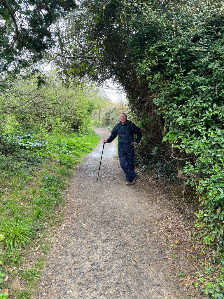
Today, my first voice memo was timed at 11.15am following a 10am start, and I already sounded thoroughly fed up-the rain was described as light but persistent, and wearing waterproofs had left me feeling “claggy”! We were looking forward to a break at a beach cafe ahead. The terrain was actually quite pleasant (in Path terms), it was the conditions making things harder, but check out the pace in the stats, 2.9mph is pretty much top speed for the Path!
We spent about 45 minutes at the cafe, where we bumped into the couple we’d met at the guest house in Porthallow (so I had to explain why my face had turned red and purple since then). I had coat envy, as the woman was wearing a very effective waterproof coat-I had opted for lightness over protectiveness, but on a day when the rain was ongoing, it just wasn’t man enough for the job (and neither was Paul’s pac a mac top and trousers). I have since purchased a new coat waterproof to 10,000ml, mainly because I got wet, miserable, and extremely grumpy on a subsequent Leg!). We resumed walking at 1.15pm, hoping for another break at Swanpool and arrival in Falmouth around 3pm.
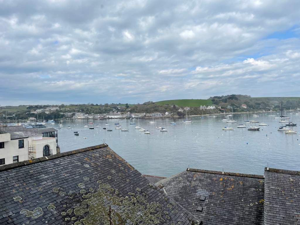
We had to sit outside at Swanpool, but the rain had eased off by then. However, we did have to walk all the way through Falmouth, as our booked stay was at the north end of town (though we did have a lovely view over the harbour). Another section successfully completed, although I hadn’t got through it unscathed! Bruising had begun to emerge all around one eye, which would eventually work its way across to the other eye, and in the creases around my mouth. At least I really wasn’t in pain at this stage-about a week later it became very tender and I had a headache, but the visuals were far worse than the actual suffering.
Our next outing was scheduled for June and would include one of the most notorious sections of the Path, so look out for more updates coming soon!
Stats:-
Time 4hr 45min (moving 2hr 28min). Distance 7.3 miles. Pace 2.9mph. Ascent 575ft.
Descent 725ft.
DAY 9 GALLERY

Leave a comment